Major Rivers of Peru: The Biggest Rivers and Why They Matter
The chief rivers of Peru are on the Atlantic slope and consist of the Amazon River, Ucayali River, Marañón River, Putumayo River, and Huallaga River. These rivers are crucial for the Amazon region as they perform the function of transport routes, biodiversity, water supply, and energy. The Ucayali River is the longest river entirely in Peru, while the Amazon River is the biggest river in the world by volume.
When people talk about the major rivers of Peru, they usually mean the big Amazon-facing waterways that shape daily life in the rainforest. If you need a quick list of major rivers in Peru, the core names show up again and again: the Amazon, Ucayali, Marañón, Putumayo, and Huallaga. And if someone asks you to name three of the major rivers in Peru, a simple answer is the Ucayali, Marañón, and Amazon the rivers that define the Amazon system inside Peru.
Peru’s 3 Major Drainage Basins (Why Rivers in Peru Are So Different)
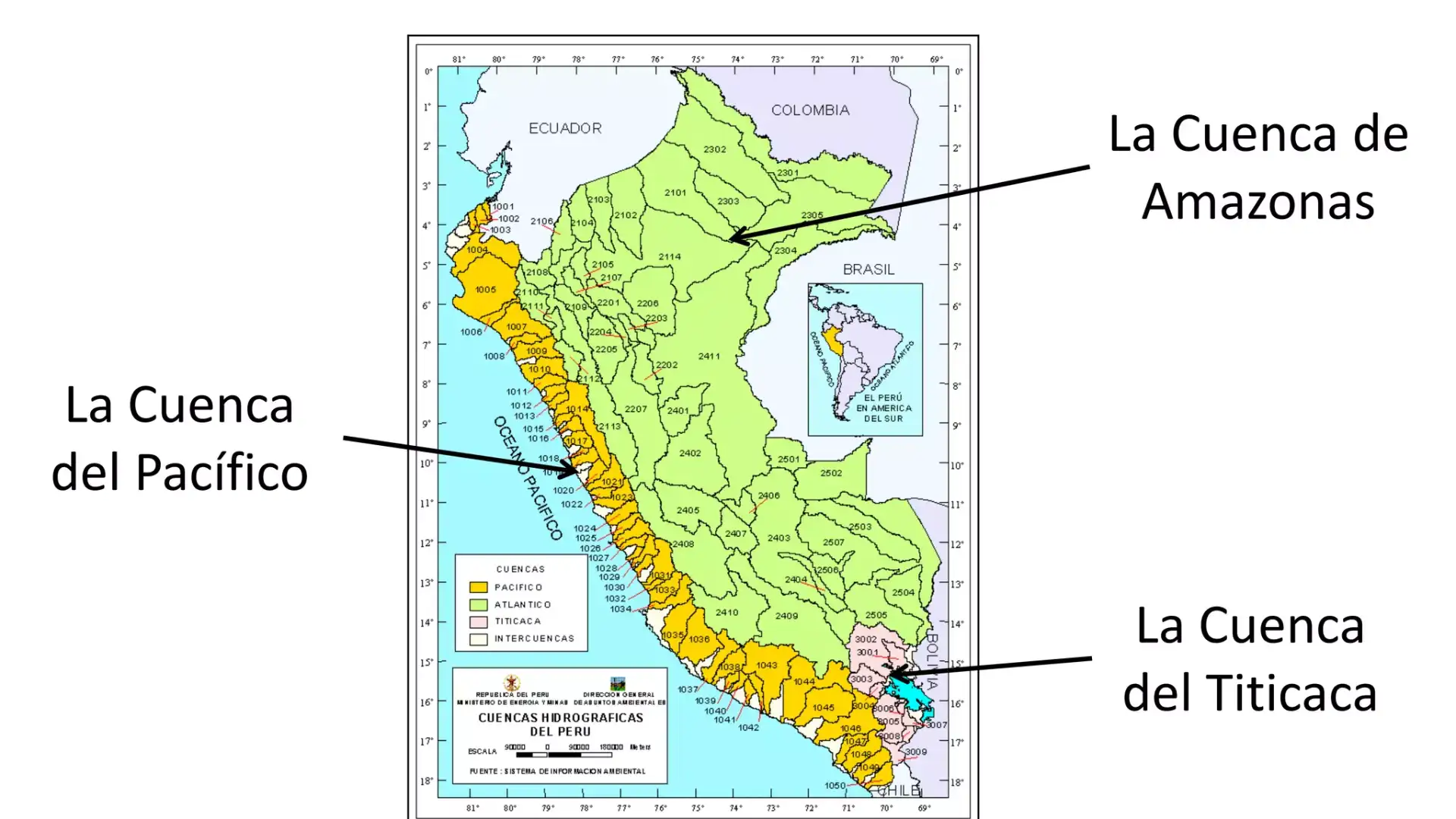
Peru is usually explained with the help of three major drainage basins. This is obviously not merely an academic matter as basins affect water resources, agricultural opportunities, hydroelectric resources, flooding risks, and even transportation options.
Atlantic Basin (Amazon Basin)
The main basin that controls Peru is the Atlantic basin. Most rivers that originate from the Andes flow east and join the network. In a practical sense, the basin comprises the longest river corridors, largest floodplains, and most navigable rivers in Peru. Significantly, much of the rainforest economy of Peru depends on the Atlantic basin. This is mainly controlled by the fact that it is cheaper to move goods through the water compared to the construction of roads.
Pacific Basin (Coastal Drainage)
The Pacific basin is smaller but has very high impact. The rivers here are brief and steep because the Andes Mountains rapidly slope down to the shore. Rivers here can also be seasonal, with pronounced fluctuations between wet and dry seasons. However, the water is critical because it provides water for reservoirs, drinking water supplies, and irrigation for coastal valleys where export agriculture is intensive. On the coast, water is a management concern year-round.
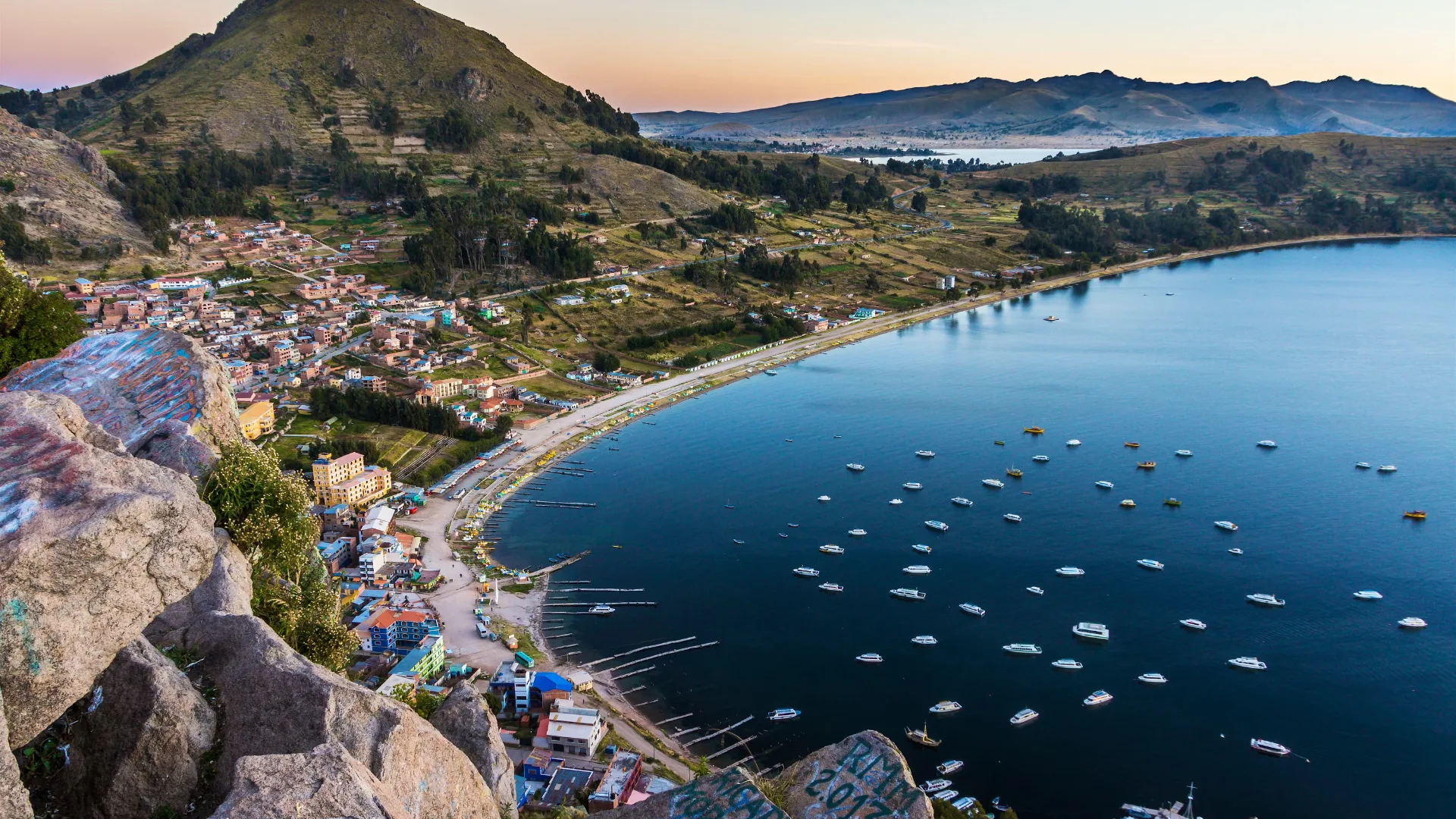
Lake Titicaca Basin (Endorheic Basin)
The Titicaca basin is a closed high-altitude system; that is, rivers drain into Lake Titicaca and affiliated wetlands without reaching an ocean. The catchment area itself supports farming and grazing in the Altiplano and shapes local ecosystems dependent on stable seasonal inflows. Due to its nature being a closed one, water quality and watershed pressures build up with time, making the management and conservation particularly relevant.
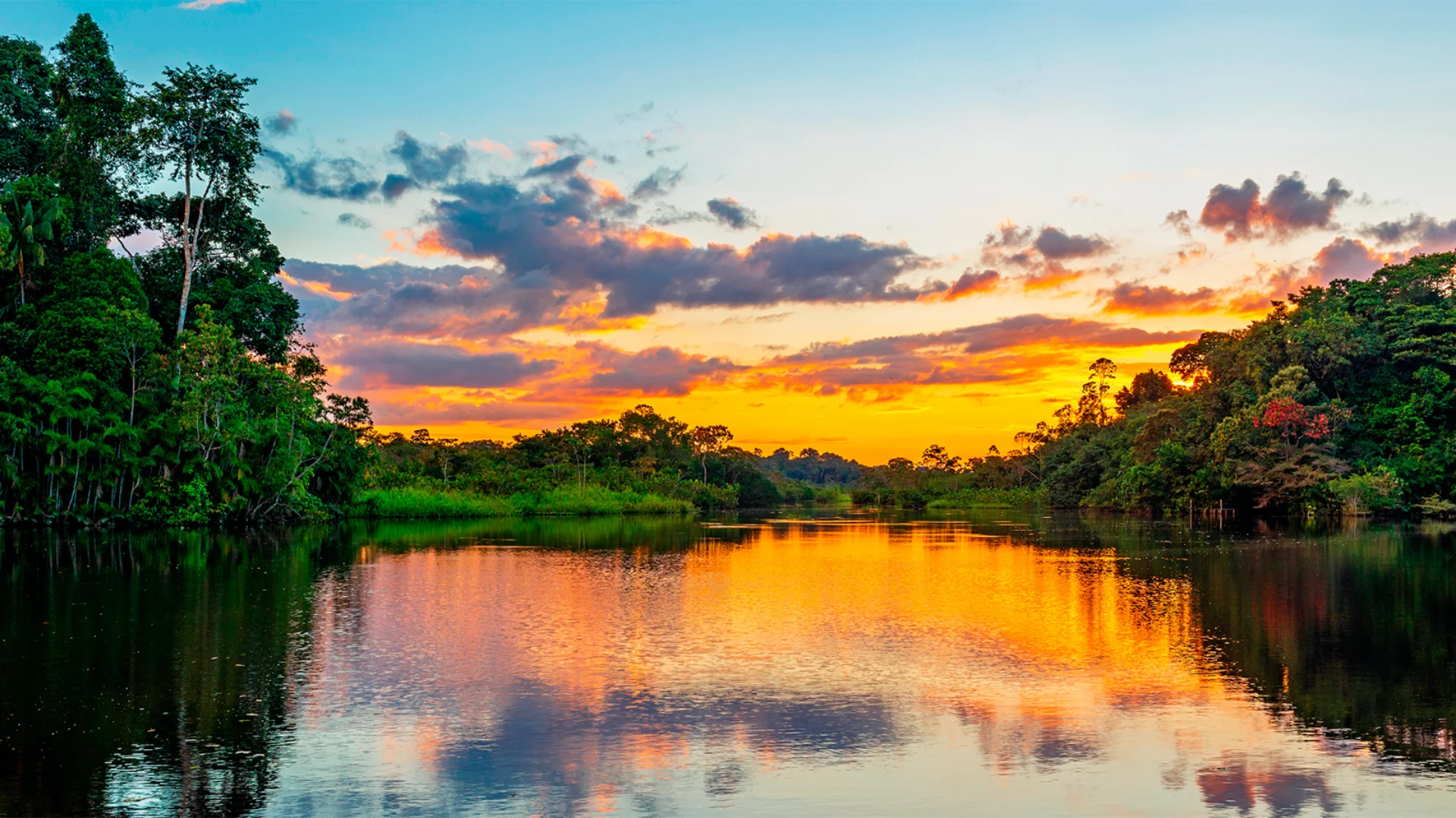
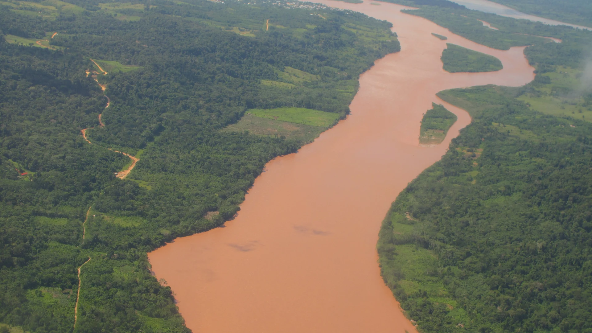
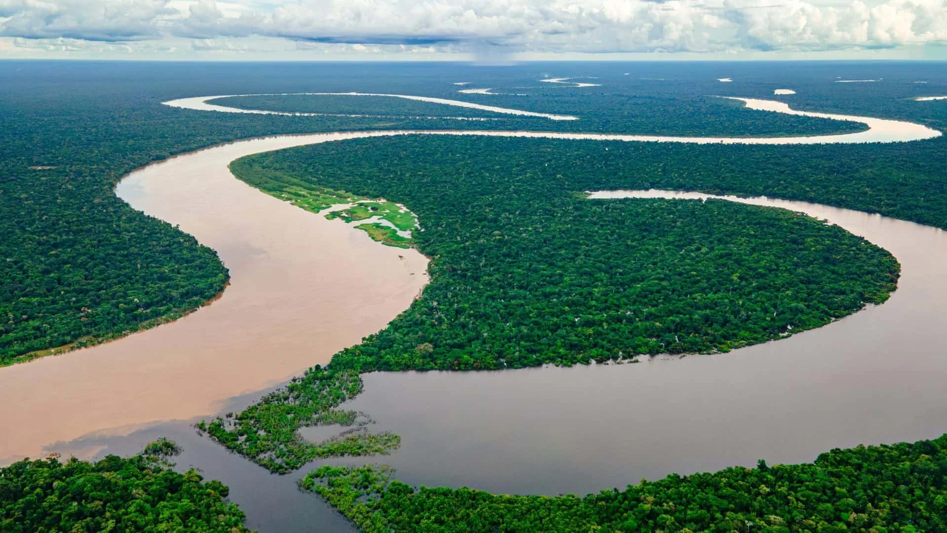
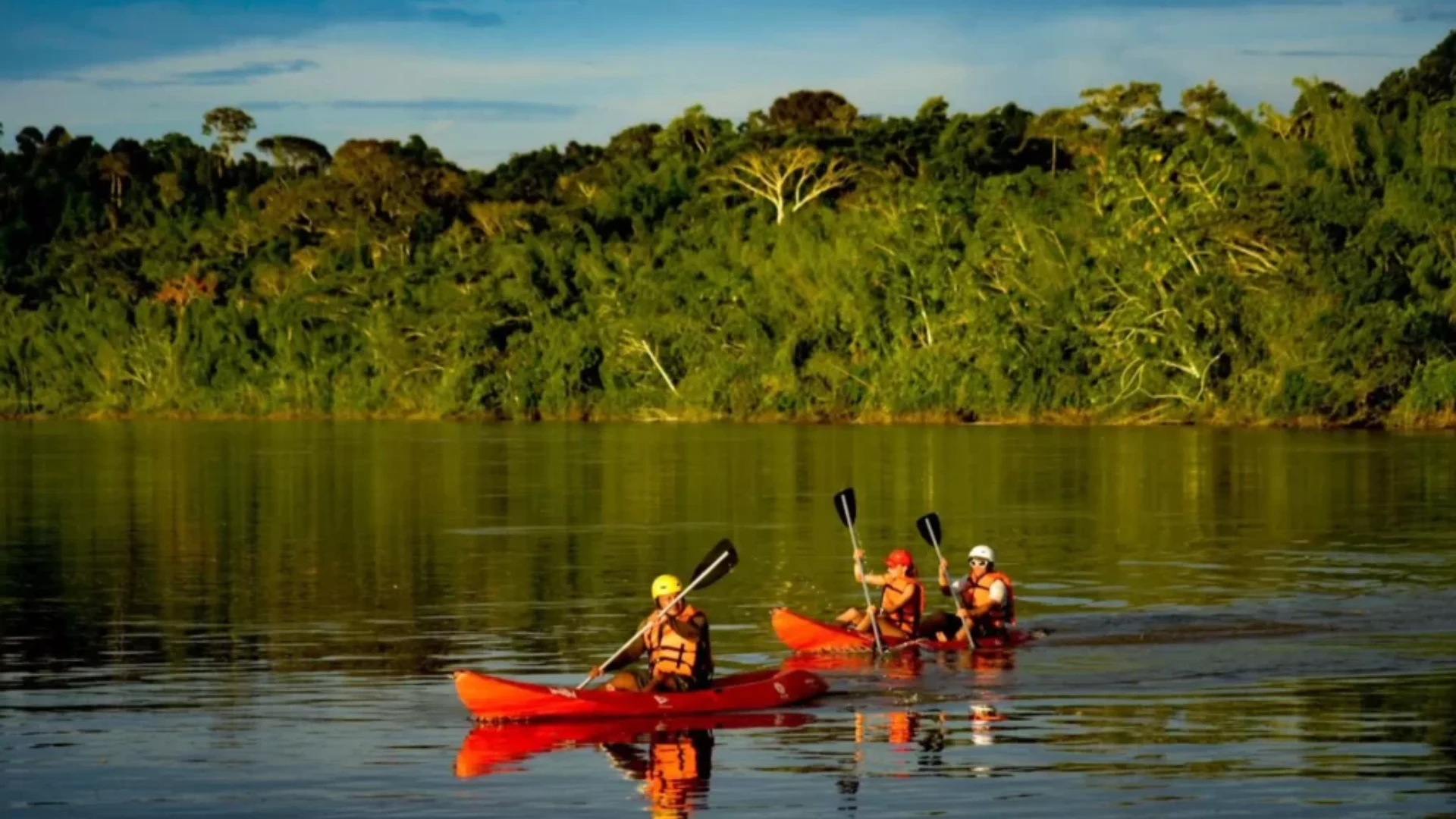
The Amazon Basin in Peru (The Country’s Largest River Network)
The Amazon basin in Peru is not a single river but rather a layered system. Some start as swift Andean streams, which then gradually slow down once they approach the lowland plains and meander and braided rivers develop. There are also wet seasons or floods that occur, covering large expanses of land, creating lakes and wetlands. However, floods are not all destructive and then considered as `disaster events.
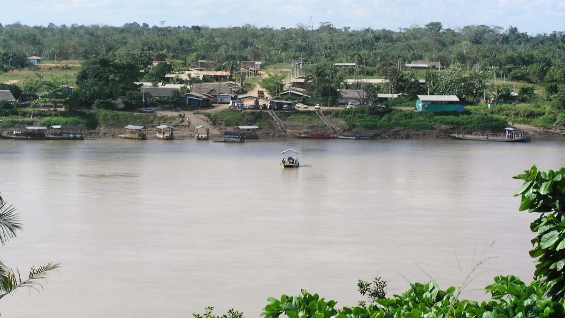
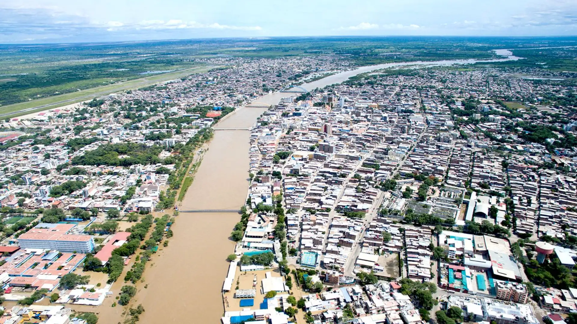
This basin is also the reason why so many river cities are found deep within South America, particularly within Peru. The river is connected with similarly important riverian cities such as Iquitos.
The Key Concept: How the Amazon River Forms in Peru
In Peru, that which is termed Amazon River, at times “Amazonas,” is considered to have started where two other rivers, Marañón and Ucayali, merge. Note, however, that these two are not small rivers; they are massive and have their own upstream lengths and headwaters in Andes Mountains. Hence, if one talks of “the Amazon in Peru,” one might actually be alluding to a river road that starts at a point where these two rivers merge and becomes a major road of navigation in Loreto.
The Most Important Rivers of the Peruvian Amazon (By Real-World Importance)
The following are the most important rivers in Peru in respect to navigation, economy, nature, as well as geographical identity:
This branch of river geography will deal with rivers that play an important role in everyday life in matters such as transportation, local economies, ecology, and geographic prominence.
Ucayali River (One of Peru’s Main Amazon “Trunks”)
The Ucayali is a backbone river for the central-eastern Amazon. It’s long, wide, and has navigable channels for a vast distance, which essentially makes its transportation a feasible and viable means for moving people and goods. The river is responsible for large transportation routes, which connect rainforest communities in the interior to larger commercial centers, particularly around Pucallpa, where the flow is steady.
There is also influence on human life. One such influence from the Ucayali River is on life in the flood plains. There is seasonal expansion to wetland and side areas during high water. There are also fishing areas. It also determines where humans live, keeping in mind that many settlements have been built to accommodate floods.
Why it matters
- Major navigation corridor where river transport is critical
- Significant Influence on Regional Trade, Food Supplies, and Mobility
- Large floodplains for supporting fisheries and biodiversity
What to know
The Ucayali is frequently listed among Peru’s longest rivers. Even when exact lengths vary by source definitions, its role as a main trunk feeding the Amazon system is consistent.
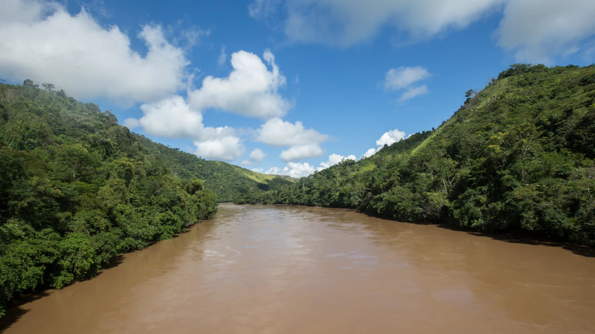
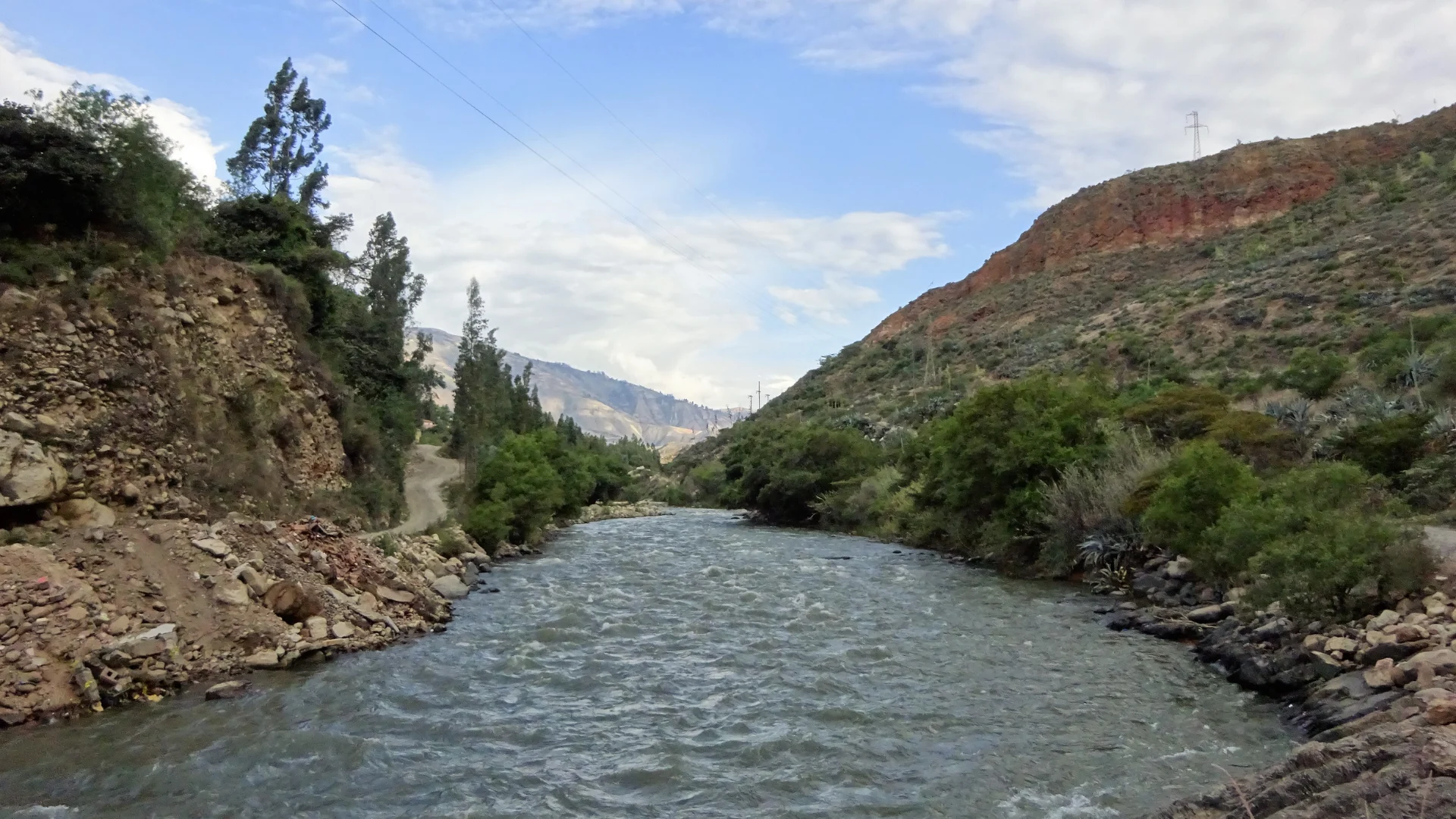
Marañón River (Andes-to-Amazon Powerhouse)
One of the most dramatic rivers in Peru is the Marañón, which covers extreme diversity. For instance, it runs across rugged terrains before it empties into wide areas. For this reason, it is a vital connector river because it connects different zones, such as the highland waters, mid-elevation forests, and lowland rainforest.
As it has significant volumes of water and many tributaries, this river has a great impact on the larger Amazon formation story within Peru. It is also important at a watershed level since changes at upstream locations, such as erosion and development, can impact water at downstream locations.
Why it matters
- Major Andean-fed river with great volume and geographic extent
- Ecological Transition River Linking Mountain and Lowland Systems
- Part of the confluence that forms the Amazonas river in Peru
Amazon River (Amazonas) in Peru (The Big Name, Big Navigation)
As far as people within Peru are concerned, the Amazon River is more a matter of “what it does” rather than “where it is,” and this is because it will become a major and broad navigation route. In the region of Loreto, river routes will be a matter of common practice when connecting towns and cities and moving resources such as food products, wood (where legal and can be controlled), and other non-essential items. The Amazon River is quite wide and has the ability to maintain a rather intricate floodplain ecosystem.
Its impact can also determine weekly schedules, such as the arrival of boats, changes in supply, and fuel transport schedules, among others. It is arguably one of the most compelling instances within Peru where a river acts like a public highway.
Why it matters
- Main River Highway across Loreto, including areas near Iquitos
- Supports fisheries, floodplain agriculture, and regional logistics
- Central to Amazon Rainforest Settlement Patterns
Huallaga River (A Major Tributary System)
The Huallaga is considered a key river because it is an Andean-Amazon river, meaning it drains a big surface and connects different landscapes. The river also offers a place for farming around the valley and adds a lot to the Amazon watershed. Rivers like the Huallaga are key in the sense that they gather water from lots of smaller rivers and, thus, really show the state of the entire region (rainfall patterns, land use, sediment loads).
On a practical level, the valley regions of the Huallaga can be quite populated, and water flow into and out of these rivers plays an important role in determining agricultural practices, transportation modes, and potential floods. Like many Peruvian rivers, it is seasonal in nature; this means river flow and currents vary considerably.
Why it matters
- High-impact tributary linking mountain water to lowland basins
- Supports valley agriculture and regional settlement corridors
- An important contributor to the larger Marañón/Amazon network
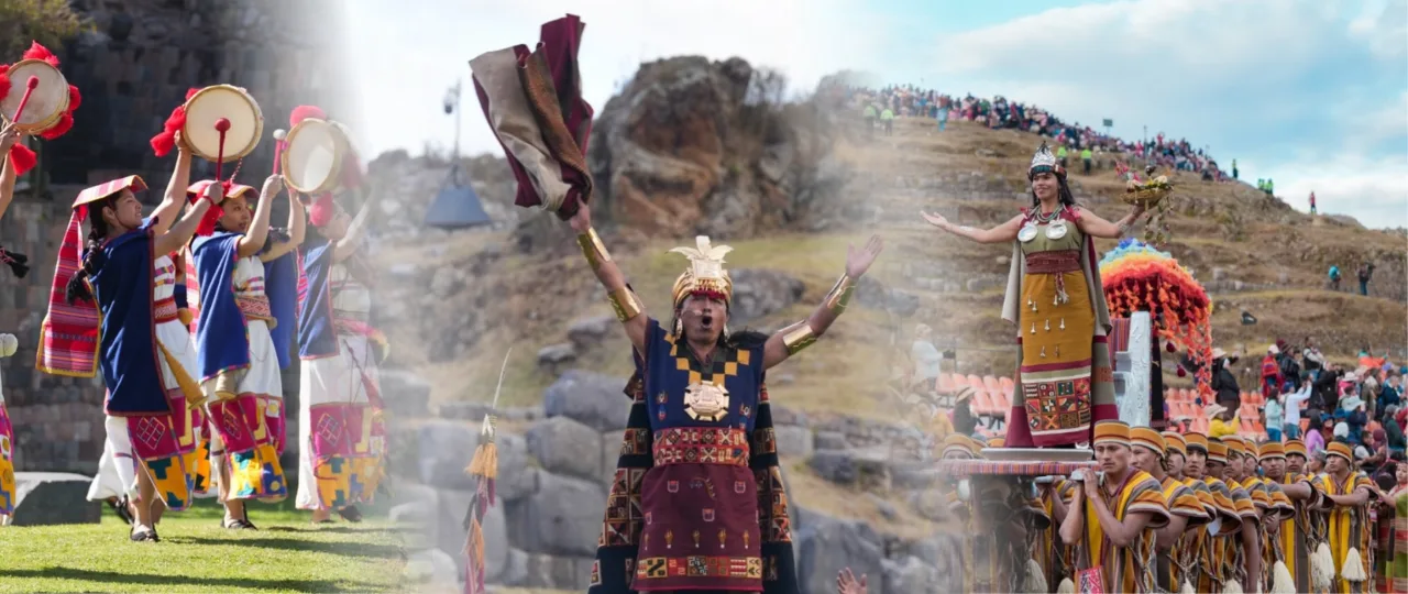
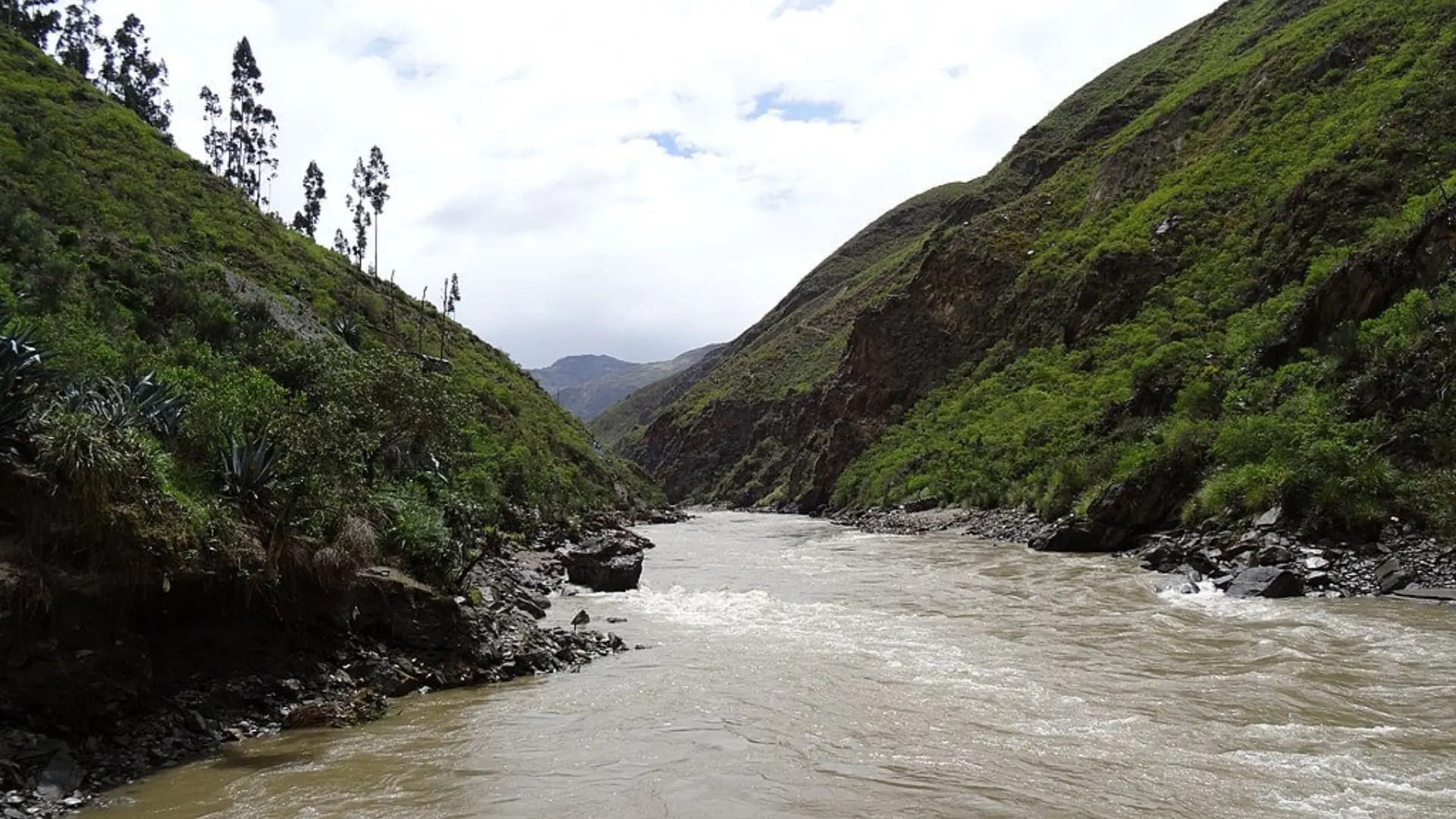
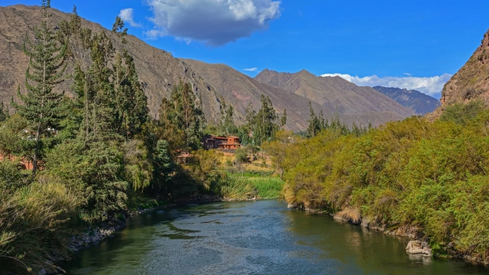
Urubamba River (Sacred Valley River, Then Jungle River)
The Urubamba is one of the most identifiable rivers of Peru to tourists because it flows through the Sacred Valley near Cusco. The Sacred Valley has been affected by farming, towns, and important archaeological sites. In the Sacred Valley, the Urubamba has traditionally been a source of farming, as it has supplied a constant source of water for farming in a region where altitude and microclimate can alter sharply. The route of the Urubamba River helps to decide upon towns and transportation routes.
Going downstream, the Urubamba flows toward the rain forest system, so it is, quite literally, a river that connects “classic Andes Peru” with “Amazon Peru” one river, two worlds, culturally significant and geographically significant.
Why it matters
- Description of Sacred Valley geography and agricultural potential
- Strong tourism visibility (Cusco region) plus real local utility
- Part of a greater drainage route flowing downstream
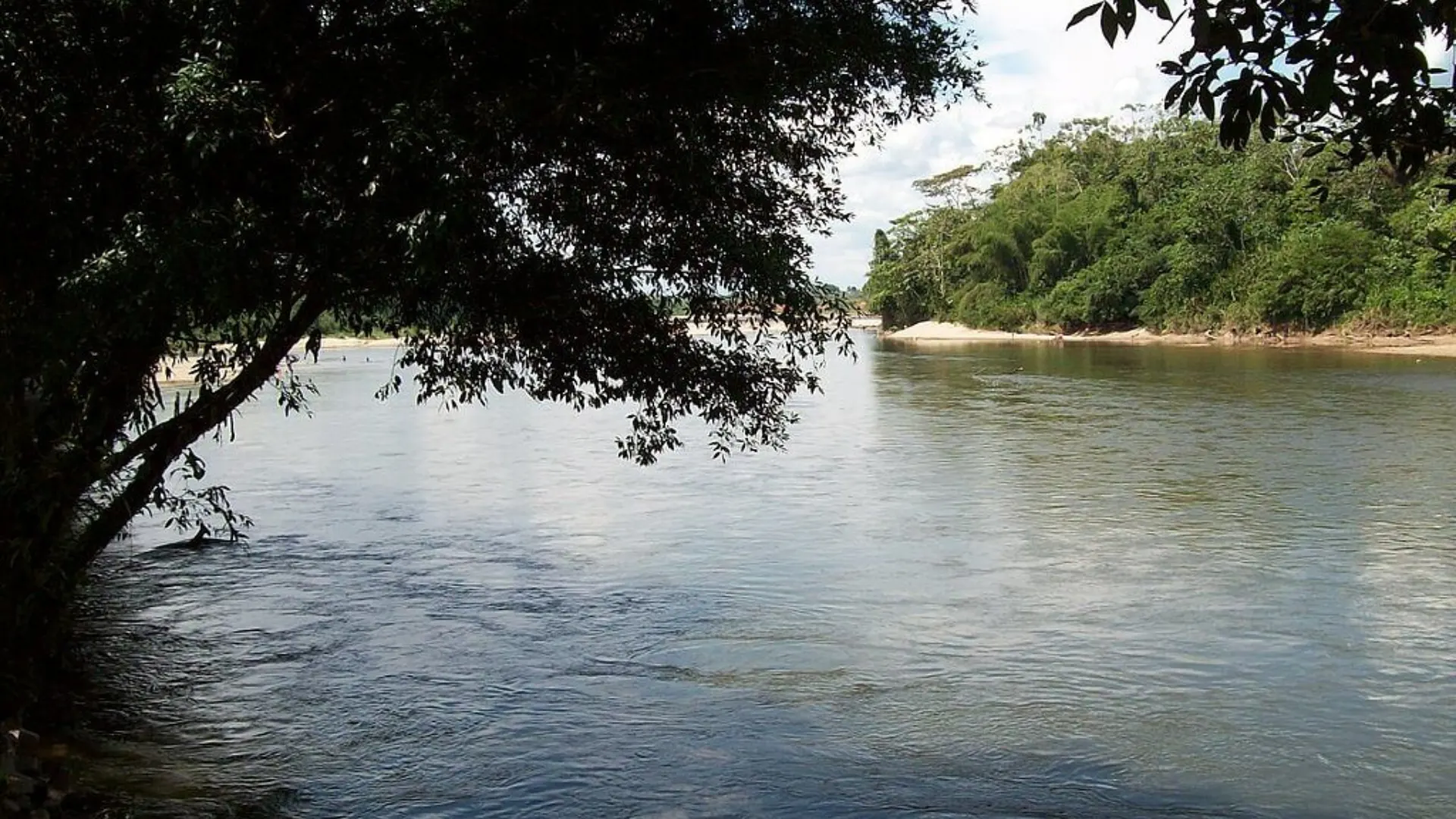
Madre de Dios River (Biodiversity Stronghold in Southeastern Peru)
The Madre de Dios plays an important role in the most biodiverse part of Peru. The rivers in this region provide connectivity for the rainforests and feature habitats due to the presence of side channels, oxbow lakes, and forested floodplains. The river is an important transport route where the road network is poor or when it is the only fastest means of transport.
Such a river system naturally gets included in the general discourse regarding conservation and land use, as the region itself houses several areas that are under protective schemes, yet the area also has to contend with issues brought about by developmental and extractive activities. In this sense, the Madre de Dios River is not only a big river but a river where the environment truly matters.
Why it matters
- High biodiversity landscapes driven by floodplain dynamics
- Key transport and access route in rainforest zones
- Central to conservation and sustainable use discussions
Napo River (A Major Northern Tributary)
The Napo river system is a vital Amazon tributary system situated in the northern Amazon with its own regional significance because of its contribution to inter-border regions and to remote populations. The significance of the Napo and similar river systems lies in their local transport value as a connection to the settlements and forming the local transport backbone where road infrastructure is limited or unreliable. The Napo river system has a floodplain that provides fish production similar to other Amazon river tributaries.
Why it matters
- Significant tributary role in the northern Amazon system
- Supports navigation and community connectivity in remote areas
- Strong ecological importance through seasonal flooding patterns
Putumayo River (Border and Basin Importance)
The Putumayo is notable both geographically and politically because it’s associated with border-region realities and large watershed structure. It’s part of the northern Amazon hydrology and supports river-based movement in areas that are often logistically challenging. Because border rivers tend to involve multiple jurisdictions and communities, they can be important for trade routes, regional planning, and long-term environmental monitoring.
Why it matters
- Major northern river system with cross-border basin relevance
- Supports remote transport and settlement patterns
- Important for regional watershed-scale geography
The Pacific Basin (Coastal Rivers): Shorter Rivers, Huge Economic Impact
The coast of Peru is, for the most part, arid. Apart from the rivers that descend from the Andes, many of the coastal valleys would be deserts with limited settlement. This, of course, accounts for its disproportionate importance in terms of their length: they provide drinking water, support irrigation canals, and maintain whether agricultural production is stable or vulnerable.
Coastal rivers tend to also be “flashier” in extremes. They can flood quickly in rainy periods and their flows drop dramatically in dry ones. That creates a constant management problem: storing wet-season water, controlling flood risk, and distributing water fairly among farms, cities, and ecosystems.
Rímac River (Lima’s Lifeline)
The Rímac is one of Peru’s most famous coastal rivers because it’s tied directly to Lima’s survival. Lima is a massive city in a desert climate, so river flow, reservoirs, and watershed management are critical. The Rímac’s importance goes beyond geography: it’s part of Lima’s water supply story and a symbol of how coastal Peru depends on Andean water.

Santa River (Ancash)
The Santa is one of the most familiar coastal rivers because it flows through the Andean landscapes; it is also a major river in a valley system. It is important where irrigation is concerned, as well as the water budget for north-central Peru. Mountain river stages are associated with mountain hydrology, as snow and rainfall determine river stages.
Piura River (Northern Coast)
Indeed, the Piura River is seasonal and very important in years with heavy rainfall. If heavy rains happen in the northern part of Peru, it can cause flooding in the river because of this flood planning and climate risk factor of the river. As such, the Piura River can be discussed as a risk factor and not necessarily as a river in itself.
Other coastal rivers that are locally critical
Chira, Jequetepeque, Chicama, Moche, Ica, Ocoña these rivers matter because they support valley agriculture and local water systems. Even if they’re not “longest,” they are some of the most economically meaningful rivers for coastal Peru.
Lake Titicaca Basin Rivers (High-Altitude Water System)
The world of Titicaca is as much a hydrological world at high altitude as any other in the world with its own laws: waters flow as rivers and swamps to supply the lake. As it is closed, water quality and land-use changes can have lasting impacts: no flushing out into an ocean occurs.
Ramis River (One of the Major Tributaries Feeding Lake Titicaca)
The River Ramis is mentioned numerous times as one of the important waterways that drain into Lake Titicaca on the Peruvian side. Rivers such as the River Ramis are important waterways because they drain water and at times carry sediment into the lake or wetland.
Why Titicaca basin rivers matter
They support rural life in the Altiplano, stabilize wetlands, and shape the balance of seasons on this lake. It is only expected that, given its extreme altitude, the food sources available would rely on a stable input into a basin.
Why Peru’s Major Rivers Matter (Beyond Geography)
Rivers as Transportation Infrastructure
In the Amazon, rivers are a kind of highway system. Passenger boats, cargo vessels, and a sea of small river transport keep communities connected to markets for healthcare and services. Often, in big swaths of Loreto and Ucayali, a “river map” functions better than a road one.
Rivers as Food Security
Rivers provide both fish and nourishment for floodplain agriculture, feeding irrigation systems. In coastal valleys, river-fed irrigation represents the backbone of agricultural production. In areas of rainforest, fisheries and seasonal cycles of flooding define food availability.
Rivers as Biodiversity Engines
Amazon rivers form habitats of seasonal flooding, oxbow lakes, and wetlands. That flood pulse creates productivity in many rainforest ecosystems. Within the Andes, the rivers shape microclimates and valley ecology. The basin rivers in Titicaca feed wetlands that support birdlife and local ecosystems.
Rivers as Climate and Risk Indicators
Peru’s rivers respond to rainfall patterns, extreme storms, and long-term changes in glaciers and mountain hydrology. That means rivers are also “signals” of broader environmental shifts too much water can mean floods; too little, irrigation stress, water restrictions, and ecosystem pressure.
Frequently asked quetions about Major Rivers of Peru: The Biggest Rivers and Why They Matter
-
Ucayali River, Marañón River, and Amazon River, which form the core of the Amazon watershed inside Peru.
-
In Peru, the Amazon (Amazonas) is commonly described as starting at the confluence of the Ucayali and Marañón.
-
Because coastal Peru is arid. These rivers irrigate valleys where farming is possible, and they support major cities.
-
The Urubamba River.
-
Peru is commonly explained through three major drainage basins: Amazon/Atlantic, Pacific, and Lake Titicaca.