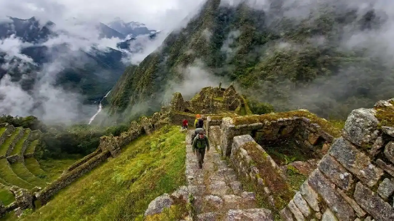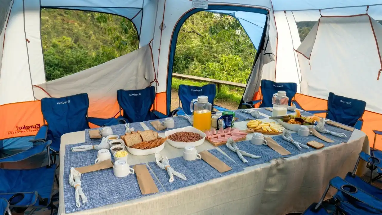

Who Created the Inca Trail to Machu Picchu
This hiking path known as Inca Trail was built during the reign of the Inca ruler Emperor Pachacuti, who is the very ruler associated with the construction of Machu Picchu. This path was not merely constructed for trekking; rather, it was a sacred passage through which pilgrims traveled on the ancient Inca network of roads, known as Qhapaq Ñan. This tour guide will help you understand everything you need to know before planning your trip to Machu Picchu in 2026.
Who Built the Inca Trail?
The Inca Trail was constructed during the time of Emperor Pachacuti, but its construction was made possible by the mit’a labor system, whereby laborers were provided by different parts of the Inca civilization.
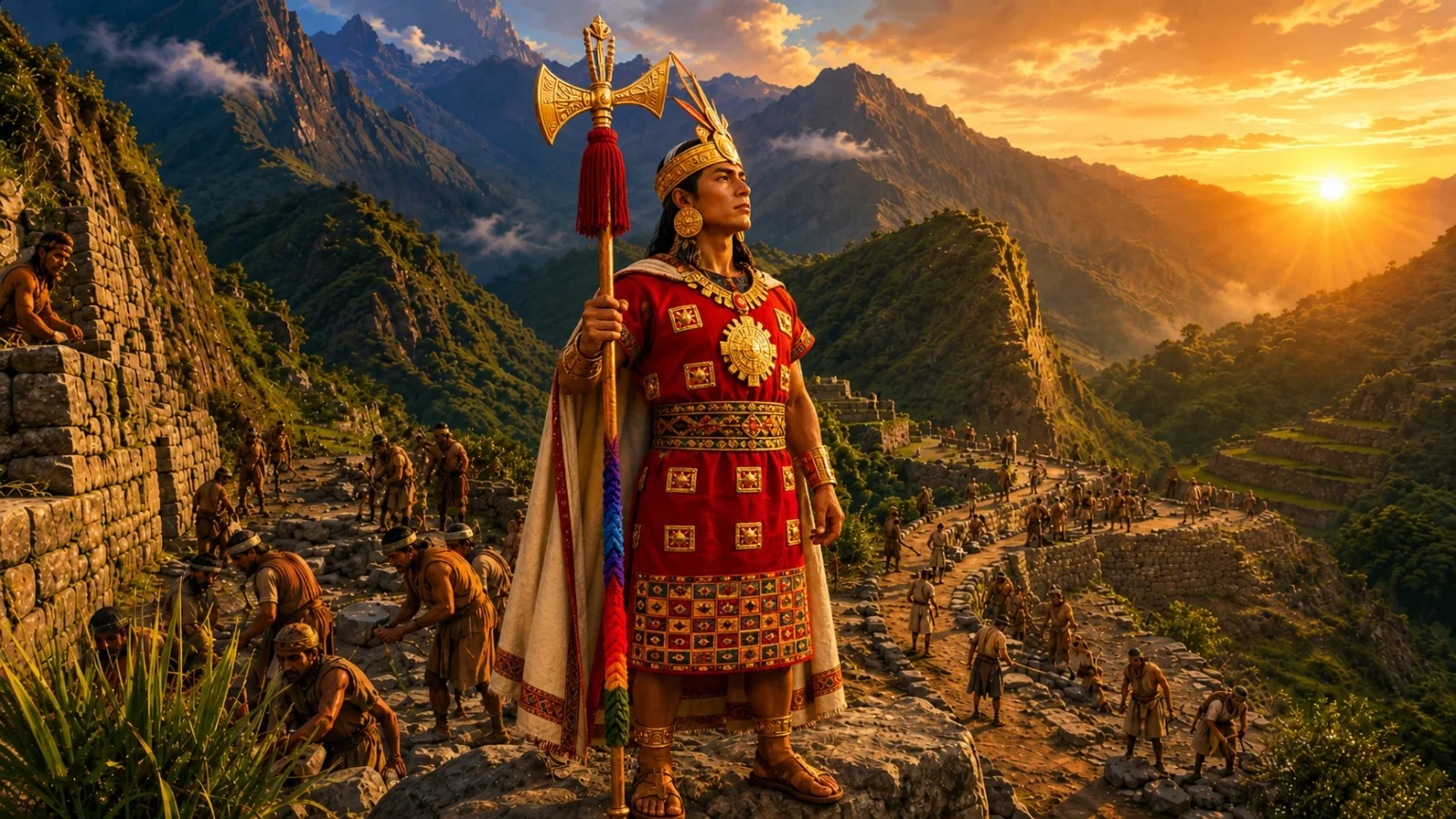
Emperor Pachacuti Inca Yupanqui
Both the Inca Trail and the wider road system were constructed under the reign of Emperor Pachacuti Inca Yupanqui, whose tenure was between 1438 and 1471. He was also the emperor who ordered the construction of Machu Picchu.
Pachacuti is regarded as the most successful leader of the Inca civilization a genius military leader and builder who established an empire that is considered the largest on pre-Columbian American soil.
The Mit’a Labor System
However, construction work was done using the mit’a system, which entailed a compulsory contribution of labor by communities within the empire. Mit’a required that each community contribute a fraction of its labor force to various state projects.
The workforce comprised peasants, craftsmen, and builders from all parts of the empire, supervised by engineers and architects of the Incas. This collective labor contributed to building Machu Picchu, Cusco’s temples, and the extensive system of agricultural terraces in the Andes.
History of the Inca Trail
In addition to being a road that led to Machu Picchu, the trail was sacred and royal, serving as a path for pilgrims, while the larger Qhapaq Ñan was responsible for moving armies, messages, and other materials throughout the Incan Empire. This network may even explain how Machu Picchu went unnoticed by the Spanish for hundreds of years.
A Sacred Royal Pilgrimage Route
A consensus among historians and archaeologists is that the Inca Trail was constructed as a pilgrimage and religious path. It contrasts sharply with the Qhapaq Ñan highway system, which catered to trade and military interests; the Inca Trail had a different and spiritual purpose.
Easier and more accessible routes existed for bringing goods and llamas from Cusco to Machu Picchu. This suggests the deliberate decision by the Incas to construct this difficult trail with a different objective in mind.
This particular path was traveled by the Sapa Inca and his nobles exclusively. There was a distinct spiritual purpose behind each site that lay on the path. The path was therefore termed the “Royal Road” or “Royal Sacred Highway”.
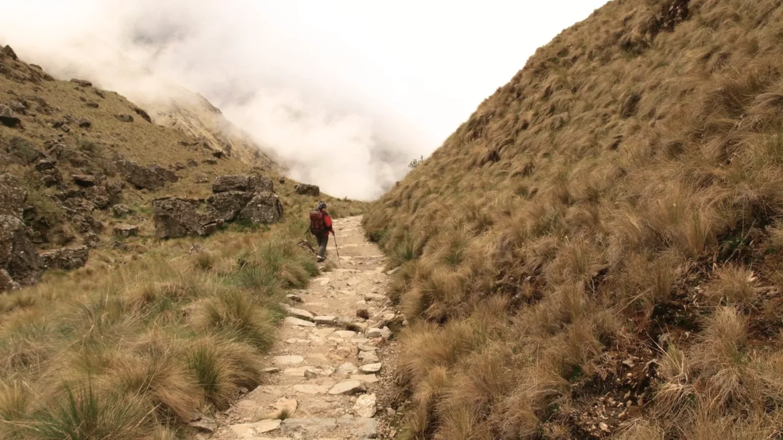
Military and Administrative Control
Beside pilgrimages, the wider Inca road network performed massive functions for survival. The empire was vast and covered coastal deserts, high Andes, and the Amazon rainforest, and thus needed good communication means and speedy troop movements.
This facilitated swift movements of armies and messengers who passed information from one station to another within a few days despite traveling long distances. A message from Quito could travel to Cusco (almost 2,000km away) within five days.
Trade, Economy, and Cultural Integration
The Qhapaq Ñan was an economic network that facilitated the exchange and distribution of products within the Inca Empire. Furthermore, another function that played a key part in the construction of Qhapaq Ñan was its involvement in spreading culture among the new conquests; the roads served as a means of spreading the Inca language and religious beliefs to new lands.
Why the Spanish Conquistadors Never Found Machu Picchu
One of the greatest mysteries of Andean history concerns how it is possible for the Spanish conquistadors, who conquered the whole Inca Empire, to not have come across the ruins of Machu Picchu during their conquest. Francisco Pizarro first came to Peru in 1532 and destroyed the Incas’ empire swiftly.
1. Remote Location and Extreme Terrain
Machu Picchu stands at an elevation of 2,430 meters (7,970 feet) on the steep ridge between two mountain tops amidst the cloud forest region of the Eastern Andes. The topography around Machu Picchu is one of the most challenging and inaccessible regions in South America.
2. It Was Not a Major Political or Economic Center
The Spanish chose to conquer the Inca cities that were politically and economically significant; these included Cusco, Cajamarca, and Quito. The reason for this was that Machu Picchu served the purpose of being the emperor’s property and was also a sacred site; it served neither as a center of administration nor as a trading center.
3. The Incas Deliberately Concealed It
There have been indications that as the Incas were leaving Machu Picchu, they made a conscious effort to destroy trails and burn paths in order to keep the Spanish away from their sacred temples.
4. The Cloud Forest Did the Rest
The cloud forest ecology surrounding Machu Picchu grows very quickly. Without any human interference, the terraces, plazas, and temples would soon be covered in vines, moss, orchids, and thick vegetation.
5. The Site Survived Intact
The end product of all these elements combined is quite extraordinary the fact that Machu Picchu is the best preserved Incan site in existence owes to the fact that the Spanish never discovered it. As such, Machu Picchu is not mentioned anywhere in the Spanish colonial administration’s historical documents regarding any notable sites within their territory.
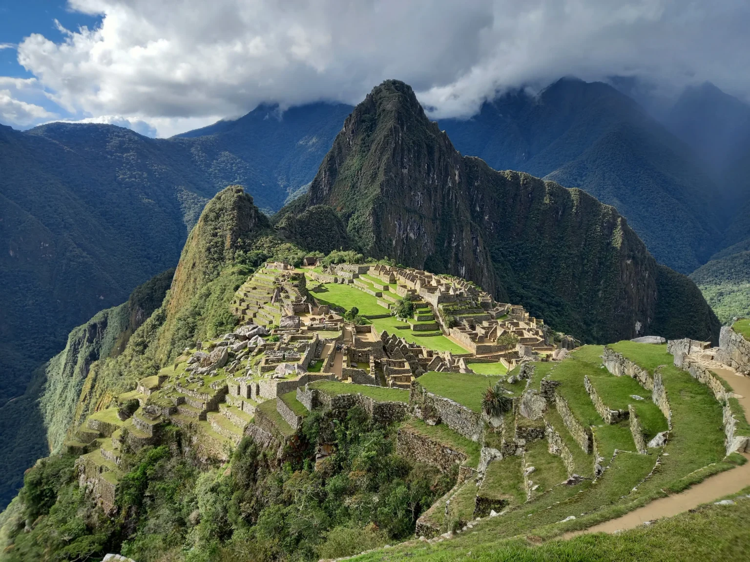
NOTE: IT WAS NOT REALLY “LOST”, Machu Picchu was never really lost because there were some local people who spoke the Quechua language that knew about the existence of Machu Picchu even after the arrival of the Spaniards. It was merely rediscovered when Hiram Bingham came there in 1911 after being guided by Melchor Arteaga, a local farmer, but not really in the sense that it was a discovery since there had been some local people who had already discovered it previously.
What Is the Inca Trail?
Most people when they talk about the Inca Trail, they usually mean the well-known 43 kilometers trekking path through the Andes leading from Ollantaytambo to Machu Picchu. However, the Inca Trail is but a fraction of an incredibly large road system known as the Qhapaq Ñan, which means “main road” or “royal road” in the Quechua language.
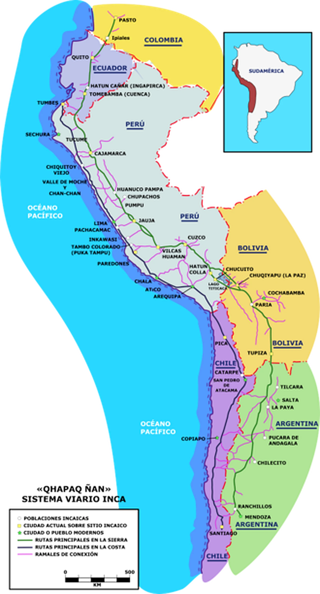
This incredible road system covered over 40,000 kilometers spanning six countries: from modern-day Colombia and Ecuador via Peru, Bolivia, Argentina, and up to Chile. All these roads were built by Incas who had no access to wheeled carts, metal tools, or any kind of alphabet.
Quick Facts: Inca Trail at a Glance
| FACT | DETAIL |
|---|---|
| Location | Cusco Region, Peru |
| Classic Trail Length | ~43 km (26 miles), 4 days / 3 nights |
| Short Trail Length | 16 km from Km 104, 2 days / 1 night |
| Highest Point | Point Warmiwañusqa (“dead woman’s pass”) – 4,215 m (13,828 ft) |
| Starting Elevation | 2,600 m (8,530 ft) at Km 82 |
| Ending Elevation | 2,430 m (7,970 ft) at Machu Picchu |
| Daily Permit Limit | 500 per day (tourists and guides combined) |
| Trail Closure | February (full-month maintenance works) |
| Peak Season | May to September (dry season) |
| UNESCO Status | World Heritage Site (Qhapaq Ñan) |
The Classic Inca Trail (4 Days / 3 Nights)
The Classic Inca Trail to Machu Picchu is the ultimate route for exploring the old trail in its entirety. The Inca Trail to Machu Picchu spans about 43 kilometers across the Andean mountain range, linking the Sacred Valley and Machu Picchu. The trail traverses some breathtaking cloud forest ecosystems and old Incan ruins along the way.
Day-by-Day Breakdown
| Day | Route | Distance | Elevation | Highlights |
|---|---|---|---|---|
| Day 1 | Km 82 to Wayllabamba | 12 km | 2,600 m to 3,000 m | Patallacta ruins, Llactapata |
| Day 2 | Wayllabamba to Pacaymayo | 12 km | 3,000 m to 4,215 m to 3,600 m | Dead Woman’s Pass (hardest day) |
| Day 3 | Pacaymayo to Wiñay Wayna | 16 km | 3,600 m to 2,650 m | Runkurakay, Sayacmarca, Phuyupatamarca, Wiñay Wayna |
| Day 4 | Wiñay Wayna to Machu Picchu | 3 km | 2,650 m to 2,430 m | Sun Gate (Inti Punku), Machu Picchu |

Classic Inca Trail to Machu Picchu
Experience the legendary inca trail to machu picchu hike and discover why this four day premium expedition is the most sought after adventure in South America. Guided by our elite ...
The Short Inca Trail (1-2 Days)
As an alternative for people with less time or who prefer something less strenuous, there is the Short Inca Trail, which takes you all the way to Machu Picchu via the Inca way, but with less time commitment than the traditional trail. It begins at Kilometer 104 and runs about 16 kilometers, finishing at Wiñay Wayna and then going down to Machu Picchu via the Sun Gate.
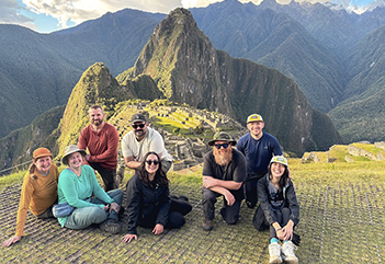
Short Inca Trail to Machu Picchu 2 days with Hotel
Our 2 day Short Inca Trail is the shortest possible hike to Machu Picchu that lets you enter the citadel on foot through the historic Sun Gate, no crowded train only entry required...
Short Inca Trail Key Details
- Starting point: Kilometer 104, Urubamba River
- Distance: ~16 km
- Duration: 1 day or 2 days / 1 night with camping at Wiñay Wayna
- Elevation range: ~2,100 m to 2,720 m
- Key site: Wiñay Wayna (“Forever Young”) impressive curved terraces and ritual fountains
- Licenses needed: Yes, just like on the Classic Inca Trail
Inca Trail Elevation: What to Expect
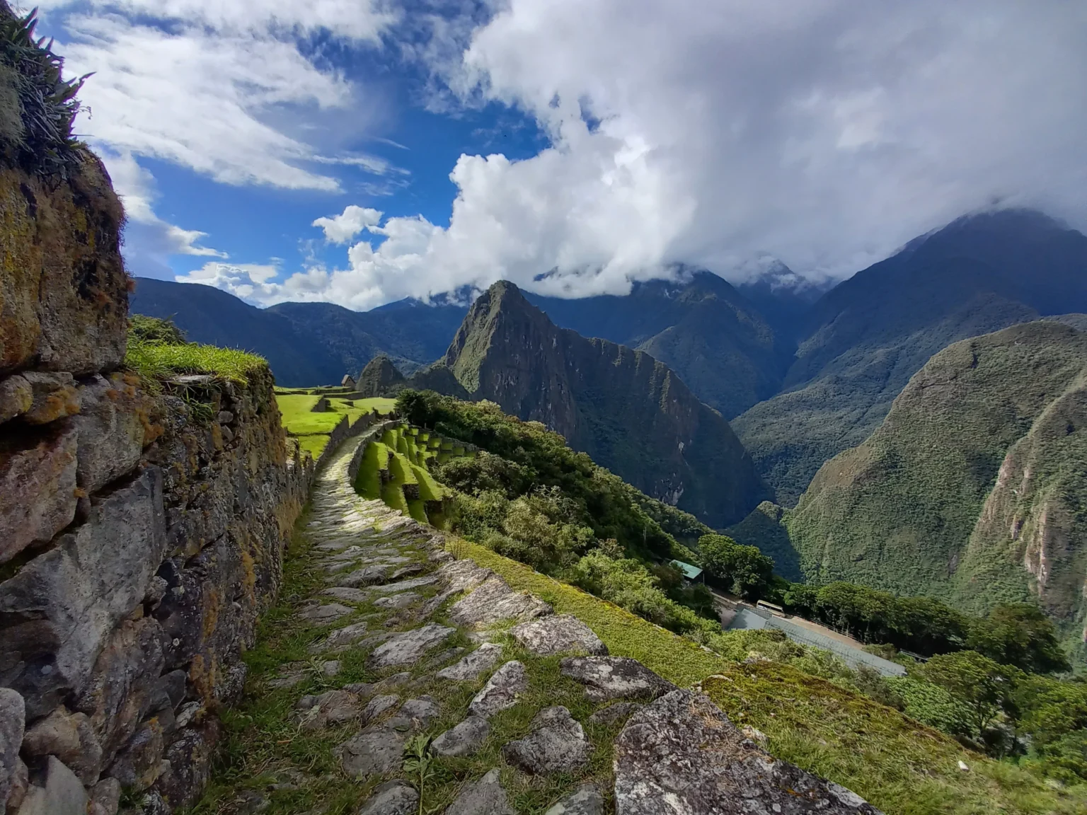
The trail does not ascend in a linear fashion, as it ascends and descends greatly throughout the entire 43 kilometers of it, which makes it both difficult and spectacular to behold.
Elevation Highlights
| Point | Meters | Feet |
|---|---|---|
| Starting Point: Km 82 (Piscacucho) | 2,600 m | 8,530 ft |
| First Camp: Wayllabamba (Day 1) | 3,000 m | 9,843 ft |
| Llulluchapampa Camp | 3,800 m | 12,467 ft |
| Dead Woman’s Pass (highest point) | 4,215 m | 13,828 ft |
| Pacaymayo Camp (Day 2) | 3,600 m | 11,811 ft |
| Second Pass (Runkurakay) | 3,970 m | 13,025 ft |
| Third Pass (Phuyupatamarca) | 3,700 m | 12,139 ft |
| Wiñay Wayna | 2,650 m | 8,694 ft |
| Sun Gate (Inti Punku) | 2,745 m | 9,006 ft |
| End: Machu Picchu citadel | 2,430 m | 7,970 ft |
Dead Woman’s Pass: The Big Challenge
This peak of the Classic Inca trail at a staggering altitude of 4,215 meters (13,828 feet) is known as Dead Woman’s Pass or Warmiwañusqa. After an arduous journey of 4 to 5 hours of climb on Day 2, the hikers finally reach the top, where they gain around 1,200 meters in altitude.
However, contrary to what its name suggests, this peak has nothing to do with death. Rather, it was named because the profile of the surrounding mountains forms that of a sleeping woman.
TIPS TO AVOID ALTITUDE SICKNESS: Get acclimatized for a minimum period of 2 full days in Cusco (3,400 meters). Hydrate yourself. Move slowly and steadily: ‘poco a poco’ (little by little) works best. Avoid alcohol both on the day prior to the start of the trek and during the trek. Consult your doctor regarding taking acetazolamide before coming down here.
Key Archaeological Sites and Their Ceremonial Purposes
- Patallacta (Llactapata): An agricultural/administrative complex at the beginning of the trail.
- Runkurakay: Meaning “Egg-shaped Ruin”. A watchtower and maybe a stop for Incan messengers.
- Sayacmarca: Meaning “Dominant Town”. A defensive administrative/religious town providing control of entrance to the cloud forests.
- Phuyupatamarca: Meaning “Town Above the Clouds”. Ritual baths used by pilgrims to cleanse themselves before entering Machu Picchu.
- Wiñay Wayna: Meaning “Forever Young”. The crown jewel on the trail, featuring beautiful rounded terraces and fountains.
- Inti Punku (Sun Gate): An amazing gateway meant to highlight pilgrims’ first glimpse of Machu Picchu.
Inca Trail Permits, Everything You Need to Know
Permit Limits
A total of 500 permits can be issued each day for the Classic 4-Day Inca Trail. Out of this number, around 200 will go to tourists, while the rest will be set aside for guides, porters, and cooks.
How to Get Permits
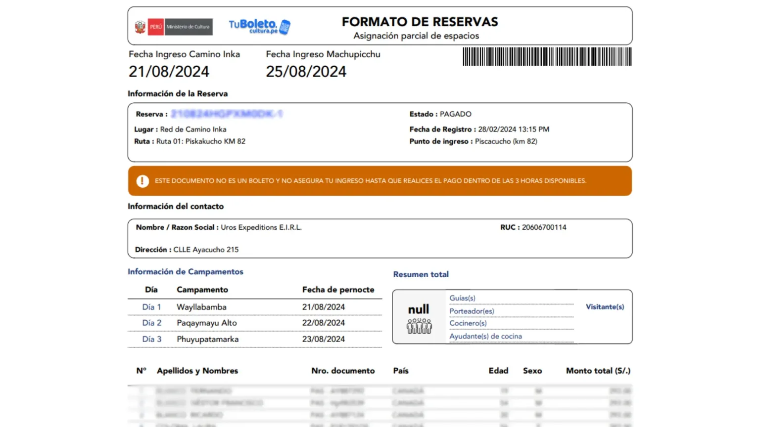
- Make arrangements with a reputable tour agency. Inca Trail passes cannot be obtained directly from the government.
- Make your reservation as early as you can. The tickets for each season become available in October the year before.
- Be ready with your passport information. Permits are issued according to your passport number.
- Contribute to the deposit amount.
Permit Availability: 2026 Status
As of July 2026, all permits are booked until the end, with August and beyond being available. Making plans for 2027? Permits normally go up for purchase in October 2026.
Permit Prices (Approximate)
| Trail Option | Approx. Cost (USD, all-inclusive) |
|---|---|
| Classic Inca Trail (4 Days / 3 Nights) | $700 to $1,500 USD |
| Extended Inca Trail (5 Days / 4 Nights) | $1,200 to $2,000 USD |
| Short Inca Trail (2 Days / 1 Night) | $350 to $700 USD |
| Short Inca Trail (1 Day) | $250 to $450 USD |
Closure of the Inca Trail Every Year
Each year, the Inca Trail closes its doors completely during the month of February. This is a routine closure that has been taking place since 2001-2002.
Why in February?
February is the wettest month of the entire year within the Cusco region and the Andes. It rains about 240 mm on average, which is intense and can pose dangers in this area. There are often landslides, stone paths can become extremely slippery, and accidents can easily occur.
Two Peruvian governmental organizations are responsible for this closure: the Decentralized Directorate of Culture of Cusco (DDC) and the National Service of Natural Protected Areas (SERNANP).
What Happens During the Closure
- Weeding: The process of cutting back vegetation that may be harmful to the archaeological sites.
- Pathway repairs: Fixing damaged stones on pathways as well as clearing drainage channels that have been clogged.
- Bridge management: Checking the condition of timber bridges and stream crossings.
- Lodging area repair: Repairing lodgings as well as toilet and rest stations.
- Terraces: Management of the ancient Incan agricultural terraces along the trail route.
- Natural environmental restoration: The process where nature is allowed to heal after thousands of visits by people each year.
WHEN DO TRAIL PERMITS BECOME AVAILABLE? The Inca Trail permits begin again on March 1st each year, after maintenance has been completed and the trail has been deemed safe by government officials. In March, the permits become some of the most coveted of the whole season.
What Is the Qhapaq Nan? The Inca Road Network Explained
Qhapaq Ñan is pronounced “KA-pak NYAN”. It is the Quechua language’s term for the extensive road network constructed by the Incas to connect every part of their empire. Qhapaq Ñan means “great road” or “road of the powerful”. This road network was not merely a series of roads; rather, it was the vital circulatory system of the most powerful empire before Columbus’ discovery of America.
Scale and Scope
When at its peak, Qhapaq Ñan stretched over 40,000 kilometers in a region that covered six countries: Peru, Ecuador, Colombia, Bolivia, Chile, and Argentina. To compare this road network with other road networks, the Interstates in America run about 77,000 kilometers long. While the United States had the benefit of using machines and modern road building technology when constructing its roads, the Incas created theirs using manpower.
Structure of the Road Network
- The Highland Road (Sierra Route): Passing through the backbone of the Andes from Colombia to Argentina, this route served as the primary administrative road linking the city of Cusco with all provinces in the Andes region.
- The Coastal Road: Connecting coastal areas with agricultural and fishing villages, which followed the coast from the Pacific Ocean.
Both these major roads were supplemented by many transversal roads, making an extensive network capable of reaching almost any village within the Inca Empire’s borders.
Engineering Features
- Stone paving: For mountain passes, stone slabs laid down without mortar have lasted earthquakes and five centuries’ worth of weather.
- Suspension bridges (q’eswachaka): These bridges were made by weaving grasses and plants such as ichu into strands able to cover 45+ meters.
- Tunnels: In some cases, Inca road builders tunneled right through the mountain rock.
- Steps: Stone steps were constructed on steep slopes in order to create a stable walking surface.
- Drainage systems: Advanced drainage systems kept erosion at bay next to the roadways.
- Tambos: Located one day’s walk apart, offering shelter to official travelers along the road.
- Chasqui stations: Stations set up about every few kilometers, containing the well-known chasqui runners.
The Chasquis, the human Internet of the Inca Empire
One of the most amazing parts of the Qhapaq Ñan was the chasqui system, a system of trained runners that would relay messages across the roads at fixed stations along their route.
As recorded by explorer Victor von Hagen, a message from Quito could travel to Cusco (a distance of almost 2,000 kilometers) in about five days faster than anywhere else in 15th-century Europe! Freshly caught fish from the Pacific Ocean could arrive on the Emperor’s plate in Cusco within two days of being captured.
Qhapaq Ñan as World Heritage of UNESCO
In 2014, the Qhapaq Ñan became a World Cultural Heritage Site recognized by UNESCO, regarded as one of the greatest achievements of infrastructure construction in the history of mankind. It includes the road system in the territory of six countries it stretches through.
This status is given not only to roads themselves but also to the entire living cultural landscape related to them. Perhaps the best-known among them is the bridge called Queswachaka which lies near Cusco. This Incan suspension bridge is annually reconstructed by indigenous peoples applying traditional methods that have been used for 500 years.
Qhapaq Ñan vs. The Inca Trail: What’s the Difference?
| Qhapaq Ñan | Classic Inca Trail | |
|---|---|---|
| What it is | Full Inca Empire road network | One segment spanning 43 km of the whole system |
| Total length | 40,000+ km | Approximately 43 km |
| Countries | Involving 6 countries (Peru, Ecuador, Colombia, Bolivia, Chile, and Argentina) | Only Peru |
| Primary purpose | Military, trade, administration, communication | Sacred pilgrimage route |
| Used by | Military, traders, messengers, administrators | Emperor, royal court, pilgrims |
| UNESCO Status | World Heritage Site (2014) | Part of UNESCO site |
| Access today | Various sections in 6 countries | Permitted trekking route |
Walking the Inca Trail to Machu Picchu is not just an experience of physical exertion but also a journey through one of the most amazing civilizations in history. Each stone, each ruin shrouded in clouds, and each foggy pass tells stories of many centuries past.
The trail was not created for tourists. The Inca Trail was an embodiment of Inca religion, their power, and their spirit. The Sun Gate was not created to provide spectacular views to the arriving people; its design allows visitors who walked the path through the mountains to see the ancient site for the first time in that particular light.
This idea, created more than 500 years ago by unknown builders following the plans made by the Inca emperor, works perfectly till today. The whole network, which includes the path to Machu Picchu, called the Qhapaq Ñan, can definitely be counted among humanity’s greatest works of all times. And the journey to Machu Picchu can be rightfully considered one of the greatest in the world.
Frequently asked questions about Who Created the Inca Trail to Machu Picchu
The Inca Trail was originally built by the Inca civilization over 500 years ago as part of the Qhapaq Ñan, the great road network of the Inca Empire. This route connected Cusco with Machu Picchu and other important sites, serving religious, administrative, military, and communication purposes across the Andes.
The original Inca Trail was constructed by the Inca Empire over 500 years ago as part of the Qhapaq Ñan, the great road network that connected the empire. Some sections may have followed older pre-Inca paths, but the Incas expanded, paved, and organized the route during their imperial period, especially under Emperor Pachacuti.
The Inca civilization designed the Inca Trail network, known as the Qhapaq Ñan or “royal road.” This vast road system connected different regions of the Inca Empire and was used for communication, trade, military movement, administration, and religious journeys. Some routes followed older pre-Inca paths, but the Incas expanded and organized the network into one of the greatest engineering achievements of the Andes.
Hiram Bingham, an American academic and explorer, discovered Machu Picchu in 1911. On later expeditions (between 1913-1915), Bingham and his team uncovered much of the overgrown Inca Trail. He was amazed to discover this well-preserved pilgrimage route leading to the city.