
Machu Picchu: Location & How to Get There
Machu Picchu is one of the most extraordinary places on Earth, a 15th-century Inca citadel perched high in the Andes mountains of Peru that has captivated travelers, historians, and archaeologists for over a century. Today it stands as Peru’s most iconic landmark, a UNESCO World Heritage Site, and one of the New Seven Wonders of the World. Getting there is an adventure in itself: there are no roads to the citadel, no airports nearby, and the journey involves flights, trains, buses, and on the best days, your own two feet through cloud forest. This guide covers everything you need to know, from understanding exactly where Machu Picchu is located to planning every step of the journey from Lima or Cusco, including how to book tickets, choose the right train, and decide between hiking and taking the bus up to the ruins.
Where Exactly Is Machu Picchu?
Machu Picchu is located in southeastern Peru, in the Cusco Region, within the Andes Mountains. It sits at about 2,430 meters (7,972 feet) above sea level on a ridge overlooking the Urubamba River in the Sacred Valley.
Where Is Machu Picchu Located on the Map?
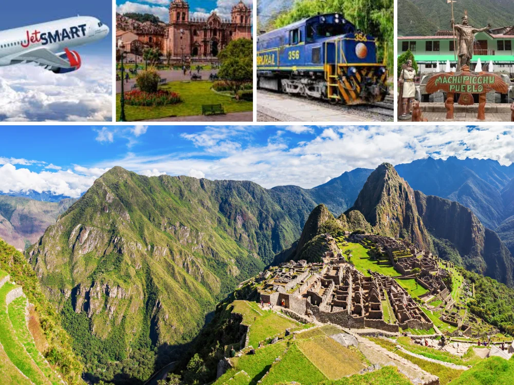
If you look for where is Machu Picchu located on the map, you’ll find it in southeastern Peru, in the Cusco Region, northwest of Cusco city and above the Urubamba River. On the map, Machu Picchu appears close to Aguas Calientes, also known as Machu Picchu Pueblo, which is the nearest town and the final stop before reaching the citadel.
This location explains why getting there is not as simple as driving directly to the ruins. Travelers usually arrive by train to Aguas Calientes and then continue by bus or on foot to the entrance of Machu Picchu.
Its exact coordinates are 13°09′47″S, 72°32′44″W, roughly halfway between the Pacific coast and the Amazon basin. What makes its location unique is how hidden and remote it is surrounded by steep mountains and dense jungle, with no direct road access.
The site remained largely unknown to the outside world until Hiram Bingham III brought it to international attention in 1911.
Absolute Location of Machu Picchu at a Glance
| Detail | Information |
|---|---|
| Country | Peru (South America) |
| Region | Cusco, Southeastern Peru |
| Elevation | 7,972 ft / 2,430 meters |
| Distance from Cusco | ~50 miles (as the crow flies) |
| Nearest town | Aguas Calientes (30 min by bus) |
| UNESCO Status | World Heritage Site since 1983 |
In practice, reaching Machu Picchu takes at minimum a full day from Cusco even for day-trippers, and more realistically two days if you want to explore properly. The Machu Picchu geographic region is officially the Machupicchu District within the province of Urubamba, Cusco, which is part of the broader eastern Andes transition zone where the highlands meet the Amazon jungle. The relative location of Machu Picchu puts it about 50 miles (80 km) northwest of Cusco city as the crow flies, but the winding terrain means getting there takes far longer than that distance suggests.
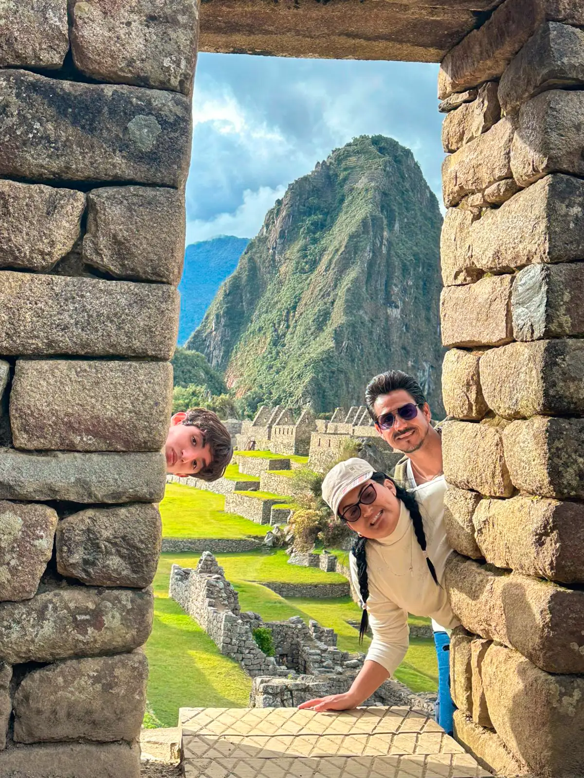
There is no road to the citadel itself. Whether you arrive by train or on foot, the final stretch always ends with either a winding bus ride or a steep hike up from Aguas Calientes. The historic sanctuary of Machu Picchu location. This protected area encompasses not just the citadel but the surrounding protected landscapeand covers over 32,500 hectares of cloud forest and high Andean ecosystems, designated a UNESCO World Heritage Site and Peruvian national sanctuary since 1983.
The Strategic Location of Machu Picchu
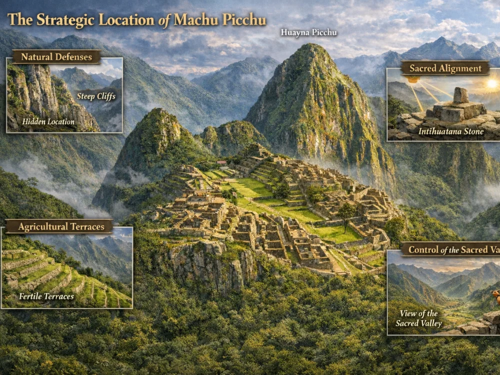
The Inca didn’t choose this ridge by accident. Machu Picchu’s position was a masterpiece of deliberate planning, chosen for its spiritual, astronomical, defensive, and agricultural advantages all at once. The city of Machu Picchu location, perched on a saddle between two Andean peaks at the edge of the jungle, was as intentional as any royal capital in history. Understanding why it was built here makes the visit far more meaningful.
Natural Defenses
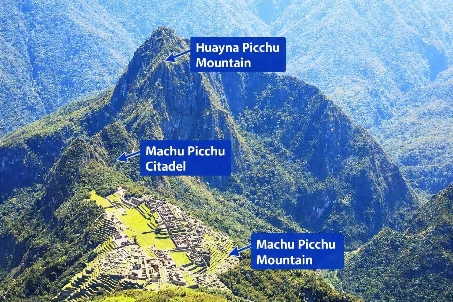
The site sits on a narrow saddle between two sharp peaks: Machu Picchu Mountain to the south and Huayna Picchu to the north. On three sides, near-vertical cliffs fall hundreds of meters to the Urubamba River below. Only one narrow land approach existed from the south. This made the citadel extraordinarily easy to defend and, critically, almost impossible to spot from the valley floor. Spanish conquistadors who swept through the Cusco region in the 16th century apparently never found it.
Agricultural Microclimate
The location sits in a “cloud forest” zone, meaning it is lower and warmer than Cusco, wetter and more fertile than the high Andean plateau. This gave Inca engineers access to rich soils and reliable rainfall, enabling the construction of the famous agricultural terraces (andenes) that cascade down the hillsides. The terraces weren’t just functional; they also served as a drainage and erosion-control system that has kept the site standing for over 500 years.
Sacred Alignment
Inca builders were obsessed with celestial alignment. Several structures at Machu Picchu are oriented to capture the rising sun on solstices and equinoxes. The Intihuatana stone, the carved granite post at the heart of the citadel, functions as a solar calendar, casting predictable shadows to mark the agricultural and ceremonial year. The surrounding sacred peaks (known as apus) were themselves objects of worship, and Machu Picchu was positioned to be in constant dialogue with them.
Control of the Sacred Valley
The Urubamba River below was the Inca’s most sacred waterway. The positioning of Machu Picchu gave the ruling class visual and symbolic control over the valley as well as practical control over the routes connecting Cusco to the jungle lowlands. It served as a royal estate for the Inca emperor Pachacuti, functioning as a retreat, ceremonial center, and administrative hub for the region.
Why It Was “Lost”
The site was never destroyed. It was simply abandoned, likely in the early stages of the Spanish conquest. Without roads, without a valley-floor footprint, and with dense jungle quickly reclaiming the terraces, it disappeared from outside knowledge within a generation. Local farming communities in the area maintained awareness of its existence, but it didn’t re-enter the historical record until Hiram Bingham’s 1911 expedition brought it global attention.
How to Get to Machu Picchu from Lima
Lima is Peru’s capital and the international gateway for most travelers. How to get to Machu Picchu from Lima, or more precisely, how to get from Lima to Machu Picchu, is one of the most searched travel questions about Peru, and the answer is always the same: it requires multiple legs. This is not a single journey but a multi-stage trip that typically takes one to two full days depending on how you travel.
The Standard Route
Lima → Cusco → Ollantaytambo → Aguas Calientes → Machu Picchu
This is how the overwhelming majority of visitors do it, and for good reason: each leg is efficient, well-serviced, and lets you acclimatize gradually.
Step 1: Lima to Cusco: Fly (recommended)
The Lima–Cusco flight takes around 1 hour 20 minutes. LATAM, Sky Airline, and Star Peru all operate multiple daily flights. Fares range from around $60–$180 USD one way. The overland alternative is a 21–24 hour bus through the Andes, best left for the adventurous or seriously budget-constrained.
Step 2: Cusco: Acclimatize (2 nights recommended)
Cusco sits at 11,150 ft (3,400 m). Skipping acclimatization is the single most common mistake international travelers make. Spend at least two nights in Cusco before continuing.
Step 3: Cusco to Ollantaytambo
A private shuttle takes 1.5–2 hours and costs $10–$25 per person. Many travelers combine this leg with a Sacred Valley day tour ending at Ollantaytambo to catch the train.
Step 4: Train to Aguas Calientes
From Ollantaytambo, the scenic train ride to Aguas Calientes takes around 1 hour 45 minutes. Book with PeruRail or Inca Rail in advance, especially in high season (June–August).
Step 5: Bus or Hike Up to Machu Picchu
From Aguas Calientes, the Consettur shuttle bus takes 25–30 minutes up a switchback road to the entrance gates. Alternatively, a steep hiking trail covers the same distance in 60–90 minutes on foot.
How Long Does It Take to Get to Machu Picchu and How Much Does It Cost?
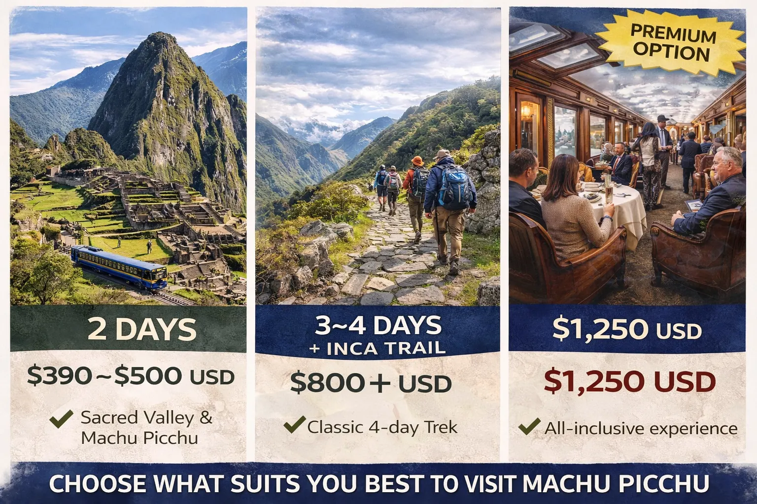
When planning your trip, two of the most common questions are: how long does it take to get to Machu Picchu and how much does it cost to get to Machu Picchu. The answer to both depends mainly on how many days you have available.
- If you only have 2 days, you can visit Machu Picchu together with the Sacred Valley, but everything will feel rushed. You’ll spend most of your time in transit between Cusco, the train, and the ruins, with very little time to relax or acclimatize.
- With 3 to 4 days, the experience becomes much more comfortable. You’ll have time to stay in Cusco, explore the Sacred Valley at a normal pace, and enjoy Machu Picchu without pressure. For most travelers, this is the best balance between time and cost.
- If you choose 5 to 7 days, the trip becomes more complete. Beyond Machu Picchu, you can add extra experiences like mountain hikes or lagoon tours, including Humantay Lake or Rainbow Mountain. At this point, the journey feels less rushed and much more rewarding.
- Another option is the 4-day Inca Trail, which costs around $800 USD in group service. This is one of the most iconic routes to reach Machu Picchu, combining trekking, history, and incredible landscapes.
- For those looking for a premium experience, the Hiram Bingham luxury train offers a one-day round trip for about $1,250 USD. It’s the most exclusive way to visit Machu Picchu, with high-end service and a more relaxed journey.
In the end, how long your trip takes and how much it costs will depend on the type of experience you want. The more time you have, the less rushed the trip feels and the more you’ll enjoy everything Machu Picchu has to offer.
| Days | What You Can Do | Cost |
|---|---|---|
| 1 day (Luxury) | Hiram Bingham train experience (round trip) | $1,250 USD |
| 2 days | Sacred Valley + Machu Picchu (fast trip) | $390–$500 USD |
| 3–4 days | Cusco + Sacred Valley + Machu Picchu | $450–$650 USD |
| 4 days (Inca Trail) | Inca Trail trek (group service) | $800 USD |
| 5–7 days | Machu Picchu + mountains or lagoons (Humantay, Rainbow Mountain) | $600–$800 USD |
Direct Flights Lima–Machu Picchu?
There is no airport at or near Machu Picchu. The nearest functional airport is Alejandro Velasco Astete in Cusco (CUZ), which requires a domestic connection from Lima. Always plan via Cusco.
Step 1: Fly Into Cusco, Your Gateway City
Every major journey to Machu Picchu starts in Cusco, Peru’s ancient Inca capital. Alejandro Velasco Astete International Airport (CUZ) connects to Lima (Jorge Chávez International, LIM) with several daily flights, and Lima connects to the rest of the world.
Flying Into Cusco
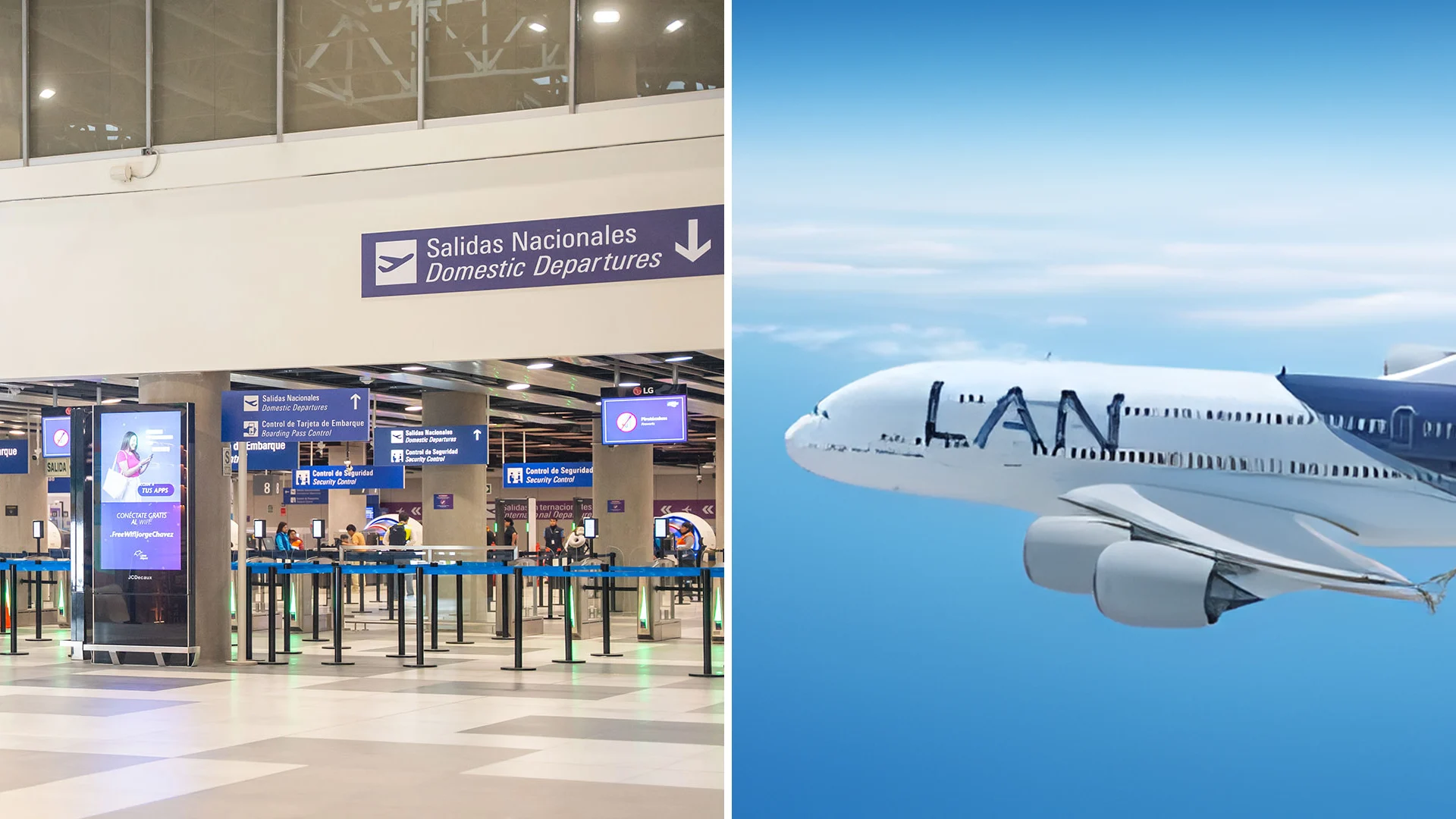
Most international travelers fly into Lima first, then catch a connecting domestic flight to Cusco. The Lima–Cusco route is served by LATAM, Sky Airline, and Star Peru, with flight times around 1 hour 20 minutes. Direct international flights to Cusco are rare, so budget at least one connection day.
Altitude Warning
Cusco sits at 11,150 feet (3,400 m), which is nearly twice the altitude of Machu Picchu. Arriving by air means you go straight to thin-air conditions. Most travel doctors recommend spending 2–3 nights in Cusco before heading to the ruins to acclimatize, prevent altitude sickness, and actually enjoy the trip.
Arriving by Bus
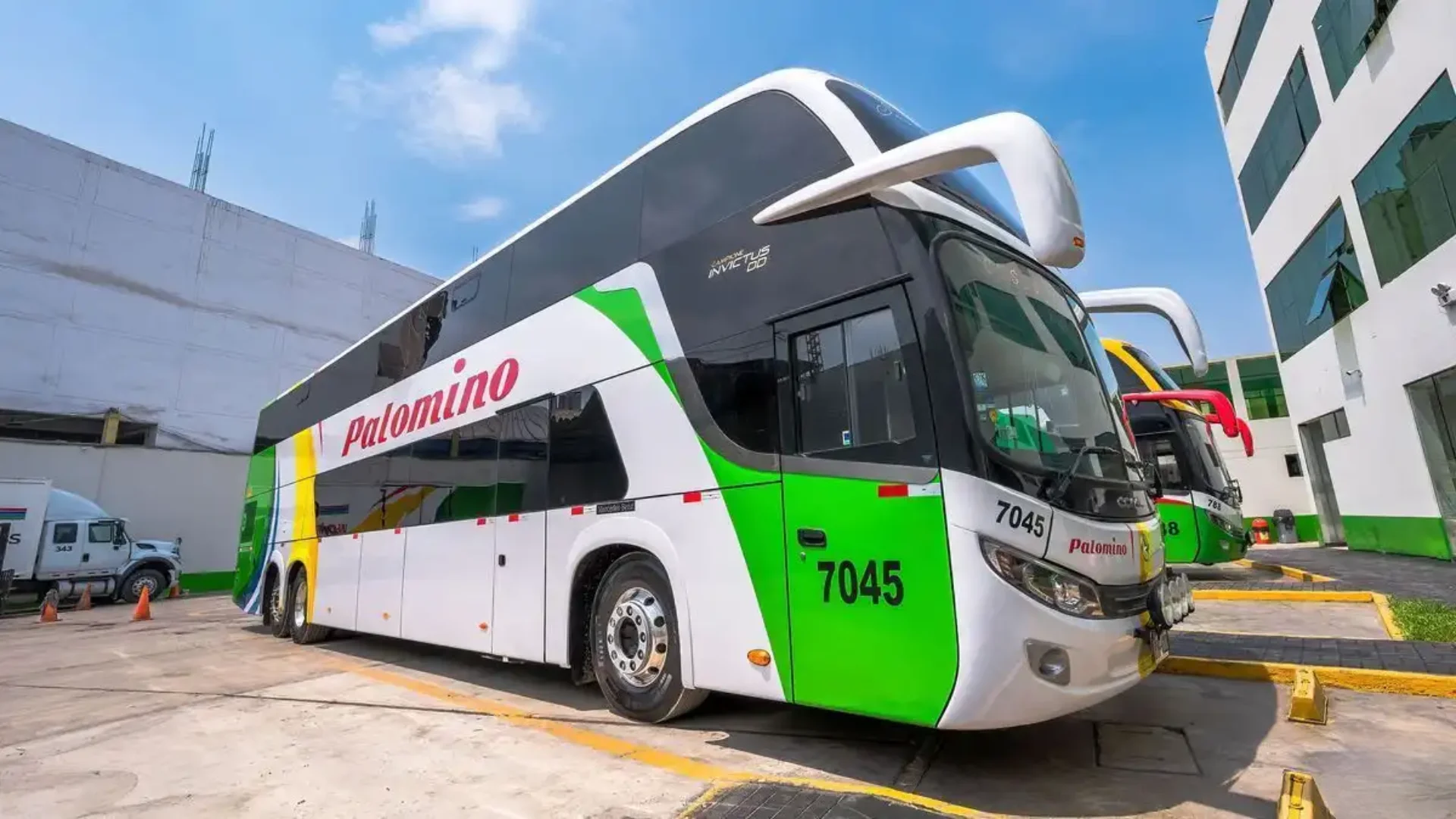
Budget travelers sometimes take a long-haul bus from Lima to Cusco, a 21–24 hour ride through the Andes that can cost as little as $25–$80 USD depending on comfort class. Cruz del Sur and Palomino are the most reputable operators.
Pro Tip
Spend at least two nights in Cusco. Not only does it help with acclimatization, but the city itself, including the Plaza de Armas, Sacsayhuamán, San Pedro Market, which all deserve a proper visit. Rushing straight to Machu Picchu and skipping Cusco entirely is one of the most common travel regrets people share online.
Step 2: Get From Cusco to the Train Station
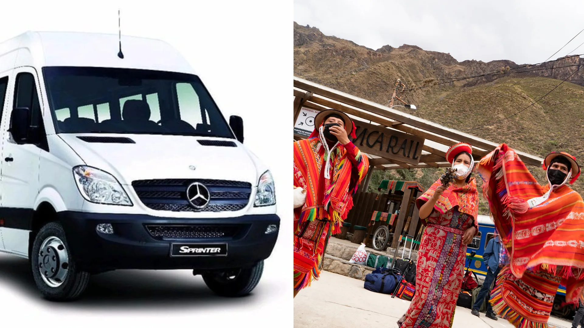
Trains to Machu Picchu depart from two stations: Poroy (a short taxi ride from central Cusco) and Ollantaytambo, a town in the Sacred Valley about 60 miles from Cusco. If you’re researching how to get to Machu Picchu from Cusco, or equivalently, how to get from Cusco to Machu Picchu. This step is the crux of the journey. Most travelers opt for the Ollantaytambo route, which is more scenic and cheaper overall.
Cusco to Ollantaytambo
The road journey takes roughly 1.5–2 hours by private shuttle or shared minivan. Shuttles cost around $10–$25 USD per person one way. Colectivo minivans depart from Cusco’s Pavitos Street terminal for as little as $3–5 USD.
Cusco to Poroy (Direct Train Option)
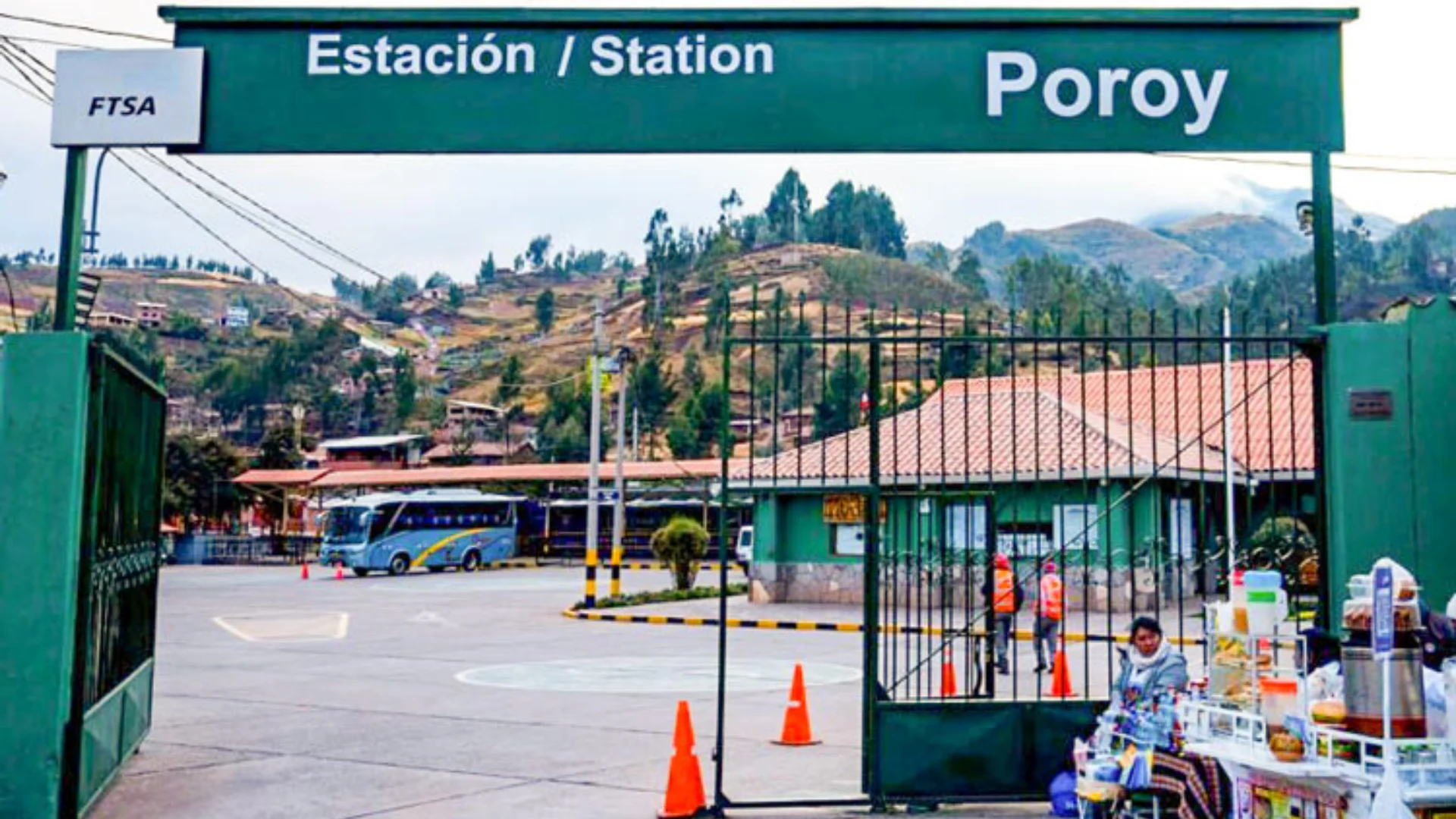
Some PeruRail trains depart directly from Poroy station, about 20–30 minutes from downtown Cusco by taxi ($5–8 USD). The train ride from Poroy is longer, around 3.5 hours compared to 1.5–2 hours from Ollantaytambo.
Travel Smart
Book your train tickets well in advance, especially if traveling between June and August (high season). Trains sell out weeks ahead during this period. Both PeruRail and Inca Rail allow online booking.
Step 3: Take the Train to Aguas Calientes
How to get to Machu Picchu by train is the standard answer to Machu Picchu how to get there. The train ride from Ollantaytambo to Aguas Calientes is genuinely one of the great scenic railway journeys in South America, a 1.5–2 hour ride that drops through the cloud forest while cliffs rise on either side and the Urubamba River churns below.
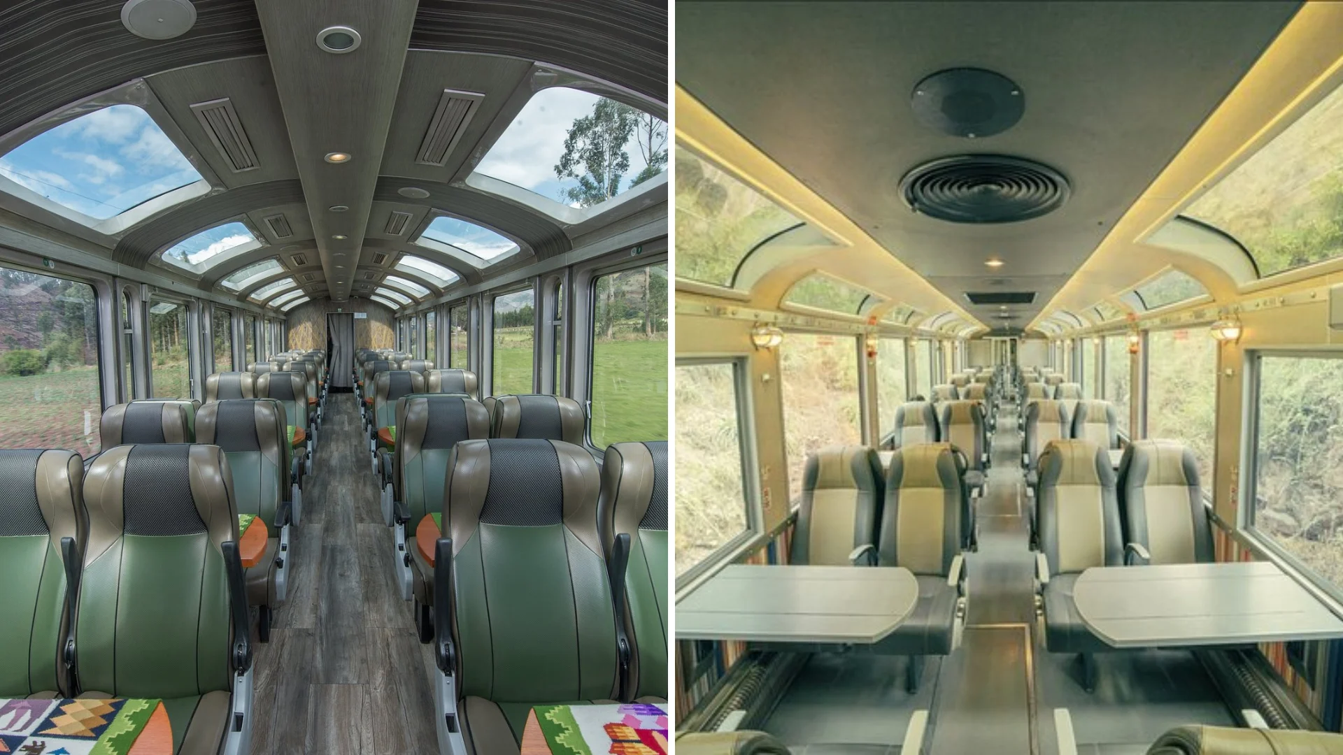
Train Operators: PeruRail vs. Inca Rail
| Service | Route | Duration | Price (one way) |
|---|---|---|---|
| Expedition (PeruRail) | Ollantaytambo–Aguas Calientes | 1h 45m | $45–$94 USD |
| Vistadome (PeruRail) | Ollantaytambo–Aguas Calientes | 1h 45m | $70–$180 USD |
| Inca Rail 360° | Ollantaytambo–Aguas Calientes | 1h 45m | $80–$135 USD |
| Hiram Bingham (Luxury) | Poroy–Aguas Calientes | 3h 30m | $700 USD |
Prices fluctuate seasonally and based on how early you book. Booking 6–8 weeks ahead typically gets you better rates and more schedule flexibility.
Step 4: From Aguas Calientes to the Ruins
Once you step off the train at Aguas Calientes (officially called Machu Picchu Pueblo), you have two options to get up to the ruins: the shuttle bus or your own two feet.
Option A: The Consettur Bus
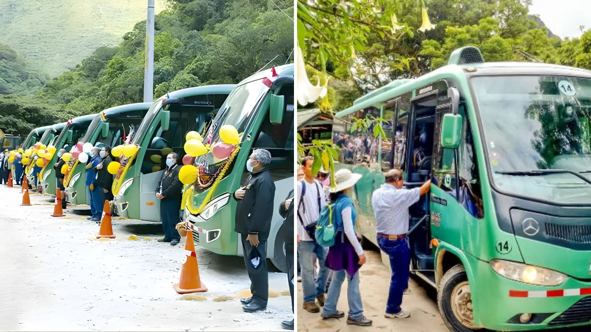
The official shuttle buses operated by Consettur depart from a central station in Aguas Calientes and take you directly to the entrance of Machu Picchu. The ride lasts about 30–45 minutes, following a winding road through the cloud forest.
Round-trip tickets cost around $24 USD for adults and $12 USD for children. Buses start running at 5:30 AM, and lines can get long early in the morning.
You can reserve your bus tickets in advance here:
https://comprar.caminoalamaravilla.com/
How the Bus System Works
| Detail | Information |
|---|---|
| Operator | Consettur (official monopoly) |
| Journey time | 30-40 minutes each way |
| First bus up | 5:30 AM |
| Last bus up | 3:30 PM |
| Last bus down | 5:30 PM |
| Adult round-trip | $24 USD |
| Child round-trip | $12 USD |
| Tickets | Consettur office in Aguas Calientes or online |
Tips for the Bus Ride
- Arrive at the terminal early. During high season, queues begin forming at 4:30–5:00 AM.
- Sit on the left side going up for better valley views.
- Buy round-trip even if you plan to hike down.
- Don’t miss the last bus down. The site closes in the late afternoon.
- Buses are reliable, but queues are not. On busy days, the downward return queue can be 30–40 minutes.
Smart Combo Move
Take the bus up, spend your full time at the ruins, then hike down on the trail to Aguas Calientes. The downhill walk takes 30–45 minutes, is dramatically easier than the uphill, and gives you a quiet moment in the cloud forest after the intensity of the citadel.
Option B: The Hiking Trail (Pedestrian Route)
You can also reach Machu Picchu by walking up the official pedestrian trail from Aguas Calientes. This route follows a steep path that cuts through sections of the bus road using stone steps.
- Distance: 2 km (1.2 miles)
- Elevation gain: 400 meters (1,300 feet)
- Time: 60–90 minutes depending on pace
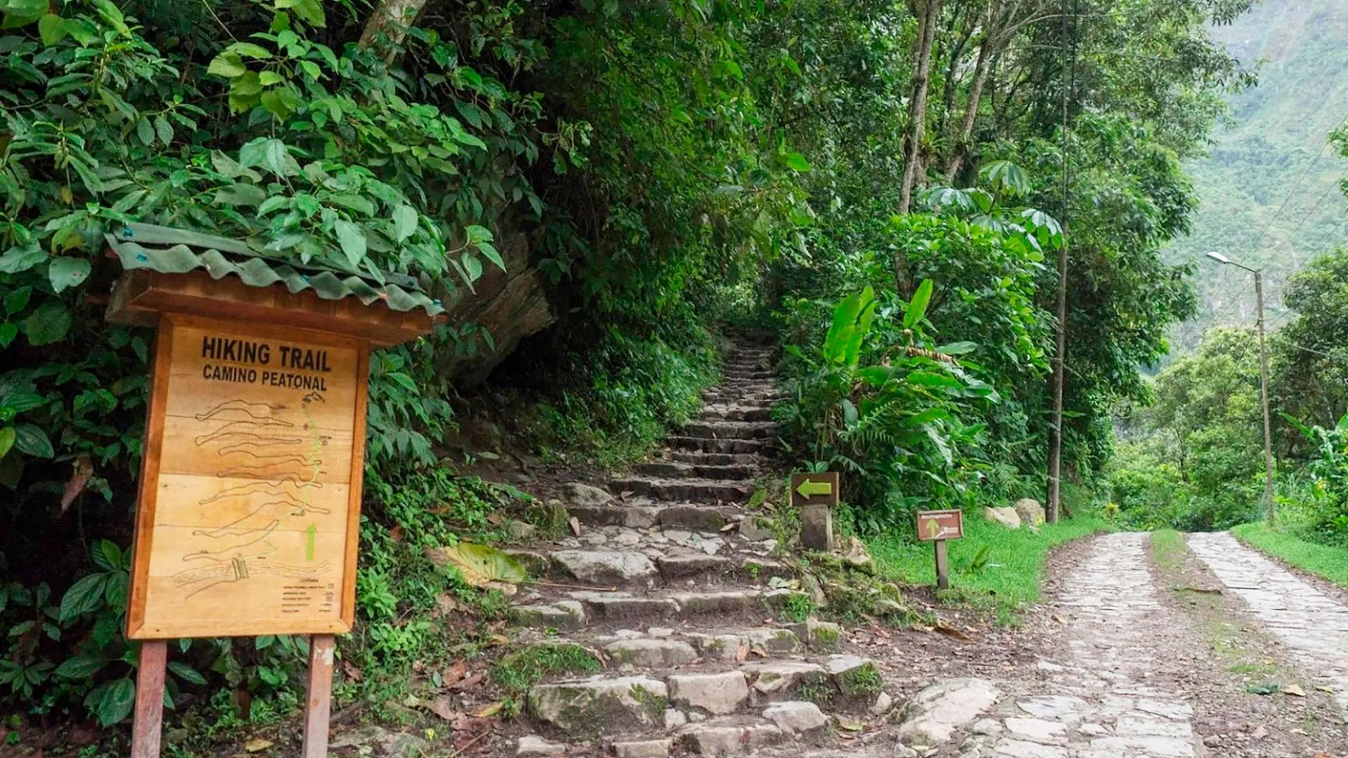
The hike is physically demanding, especially at altitude, but it’s free and gives you a more active and rewarding way to reach the site.
The Trail from Aguas Calientes to the Ruins
The path begins near the Consettur bus terminal and follows a series of stone steps and dirt switchbacks up the hillside, paralleling the road. The total distance is roughly 2 miles (3.2 km) with around 1,300 feet (400 m) of vertical gain. Most reasonably fit adults complete it in 60–90 minutes.
- Start time: Set off by 5:00 AM to arrive close to opening (6:00 AM)
- Difficulty: Moderate-strenuous, with a consistent incline and uneven steps
- Cost: Free (no trail fee)
- What to bring: Headlamp, water, trekking poles, waterproof layers
- Footing: Stone and packed earth, so trail shoes or sturdy sneakers are ideal; sandals do not work
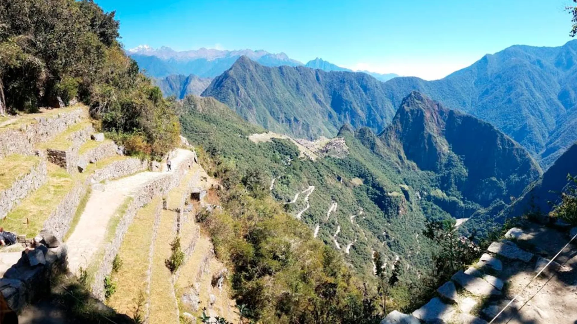
Arriving Through the Sun Gate (Inti Punku)
The Sun Gate route offers a completely different approach. Instead of ascending directly from Aguas Calientes, you enter Machu Picchu from above by hiking a section of the Inca Trail from Km 104. This is the final stretch that full Inca Trail trekkers walk on the last morning of their 4-day route, and the view of Machu Picchu appearing through the gate as the mist burns off is one of the iconic images of Andean travel.
Hiking Down from Machu Picchu
Even if you took the bus up, hiking down at the end of the day is worth considering. The descent trail takes around 30–45 minutes, is far gentler on your lungs than the ascent, and tends to be quiet in the late afternoon.
Know Before You Go
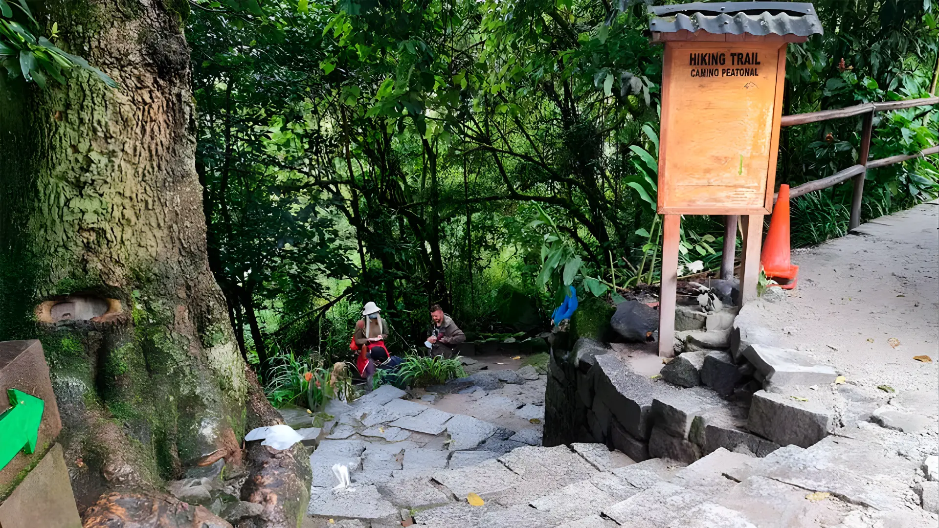
The hiking trail shares the hillside with the bus road but is entirely separate. In the rainy season (November–March), the stone steps can be slippery; trekking poles are genuinely useful. The trail is open year-round but is not lit, so bring a headlamp for any pre-dawn starts.
The Inca Trail Alternative Route to Machu Picchu
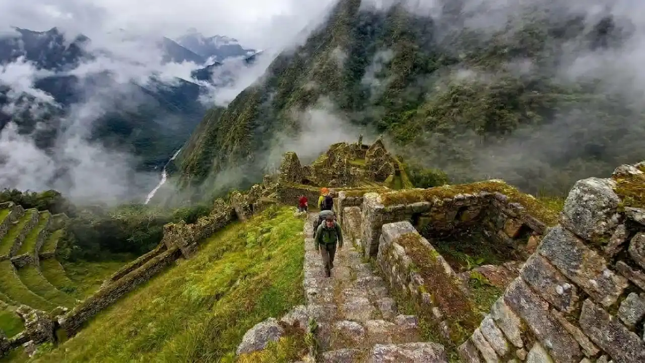
For those who want something far more involved, the Classic Inca Trail is a multi-day trek through high-altitude Andean landscapes, cloud forest, and genuine Inca ruins that culminates at Machu Picchu. It’s widely considered one of the great hiking experiences in the world.
Classic Inca Trail (4 Days / 3 Nights)
The classic route covers about 26 miles (42 km) from Km 82 outside Ollantaytambo. Highlights include Dead Woman’s Pass (13,828 feet), a series of lesser-visited Inca sites, and an arrival through the Sun Gate at dawn. Permits are strictly limited to 500 people per day (including guides and porters), and they regularly sell out 6 months in advance for the peak May–September season.

Classic Inca Trail to Machu Picchu
Experience the legendary inca trail to machu picchu hike and discover why this four day premium expedition is the most sought after adventure in South America. Guided by our elite ...
Shorter Alternatives to the Inca Trail
For travelers who want a trekking experience but don’t have the time or prefer something more flexible, there are several shorter routes that still offer an unforgettable journey to Machu Picchu.
2-Day Short Inca Trail
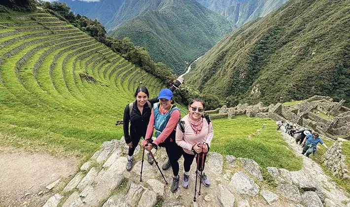
The Short Inca Trail starts at Km 104 and covers approximately 12 km (8 miles) through cloud forest. Along the way, you’ll pass archaeological sites like Wiñay Wayna before reaching Machu Picchu through the Sun Gate (Inti Punku). This is the same iconic entrance used on the classic trek, offering that first panoramic view of the citadel from above.
A permit is still required, but it’s generally easier to secure than the 4-day Inca Trail, making it a great option for those planning on a tighter timeline.
Short Inca Trail With Camping
If you are short of time, but you’d like to experience the history and magic of the Inca Trail, then the Short Inca Trail with Camping experience is the option for you. You&#...
4–5 Day Salkantay Trek
The Salkantay Trek is one of the best alternatives to the Inca Trail, especially if you’re looking for flexibility. There are no permit limits, so it can often be booked closer to your travel dates.
The route passes below the Salkantay snow-capped peak, which rises to 20,574 feet (6,271 m), and takes you through a dramatic range of landscapes. Over several days, the scenery shifts from high alpine terrain to lush jungle before reaching Aguas Calientes.
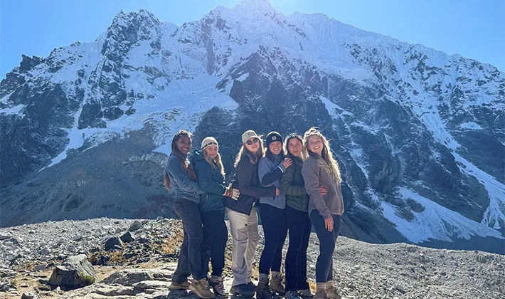
Salkantay Trek for 5 Days and 4 Nights
We are your dedicated local operators. This Salkantay Trek to Machu Picchu is the most rewarding way to get there. Over five intense days, our expert team ensures you hike right al...
4-Day Lares Trek
The Lares Trek focuses more on culture than ruins, taking you through remote Quechua communities where traditional ways of life are still very much intact. Along the route, you’ll see local villages, herds of llamas and alpacas, and natural hot springs.
This trek does not lead directly into Machu Picchu. Instead, it ends in Ollantaytambo, where you continue by train to Aguas Calientes.
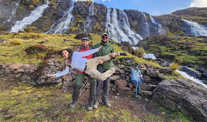
Lares Trek to Machupicchu 4 Days 3 Nights
The Lares Trek Peru Route is ideal for travelers who want to get off the beaten path but still visit the impressive ruins of Machupicchu. It is a wonderful hike that takes you th...
Inca Trail Permit Deadline
Inca Trail permits are non-transferable and sell out months ahead of peak season. You must book through a licensed tour operator because independent trekking on the Inca Trail is not allowed. If you’re planning for June, July, or August, start looking in January or February at the latest.
Entry Tickets, Circuits & Permits
As of 2024–2025, Machu Picchu operates on a ticketed time-slot system. How to get Machu Picchu tickets: you must purchase an entry ticket in advance through the official portal at tuboleto.cultura.pe and arrive within your designated time window. Walk-up tickets at the gate are no longer available since everything is pre-booked online. How to get to Machu Picchu and actually get in requires planning this step before anything else because your entry ticket date controls your entire travel itinerary.
Entry Circuits
- Circuit 1 & 2: General access to the main citadel; most commonly booked.
- Circuit 3: Different entry points, suited for late arrivals or those combining with hikes.
- Huayna Picchu Mountain: Only 400 permits per day. The iconic sharp peak above the ruins. Books out far in advance.
- Machu Picchu Mountain: Higher and longer (3-hour round trip), less crowded. 800 permits daily.
Ticket Prices to Machu Picchu (2026)
| Ticket Type | Adult | Student/Child |
|---|---|---|
| Citadel Only (Circuit 1–3) | $60–$70 USD | $35–$45 USD |
| Citadel + Huayna Picchu | $80–$110 USD | $45–$55 USD |
| Citadel + Machu Picchu Mtn | $80–$110 USD | $40–$50 USD |
Note on Re-Entry
Re-entry to the citadel is not permitted. Once you exit through the main gate, your ticket is done. Plan accordingly and don’t leave until you’re actually ready to leave.
Practical Tips Before You Go
Best Time to Visit
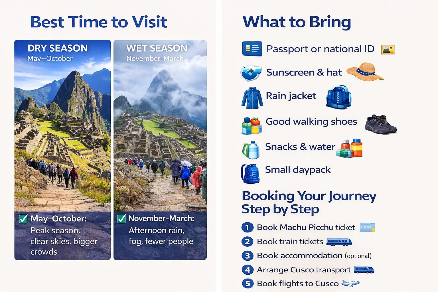
Peru’s dry season runs from May through October, which also happens to be peak season at Machu Picchu. Clear skies, no mud, and better photography conditions, but also bigger crowds and higher prices. The shoulder months of April, May, and October are the sweet spot: still mostly dry, notably fewer people.
The wet season (November–March) brings afternoon rain and sometimes all-day fog. January sees the highest rainfall and the Inca Trail typically closes in February for maintenance.
What to Bring
- Passport or national ID: required for entry and must match the name on your ticket
- Sunscreen and a hat : the equatorial sun at altitude is brutal
- Rain jacket : weather changes fast in the cloud forest
- Good walking shoes : the stone paths are uneven
- Snacks and water : there’s one overpriced café inside the ruins
- Small daypack : large bags and wheeled luggage are not allowed inside the citadel
Booking the Journey Step by Step
- Book your Machu Picchu entry ticket first : visit machupicchu.gob.pe and select your date, time slot, and circuit.
- Book your train tickets : go to perurail.com or incarail.com and choose times that get you to Aguas Calientes in time.
- Book accommodation in Aguas Calientes (optional) : staying overnight lets you catch the first buses up.
- Arrange Cusco-to-Ollantaytambo transportation : arrange a private shuttle or join a Sacred Valley tour.
- Book your flights to Cusco : flying Lima–Cusco the day before gives a reasonable buffer.
Frequently asked questions about Machu Picchu: Location & How to Get There
No, there is no airport in Machu Picchu. The nearest airport is in Cusco (CUZ), and all trips to Machu Picchu start from there.
Yes, but it’s very rushed. A 2-day itinerary is the minimum recommended to properly enjoy the experience and avoid exhaustion.
The best time is during the dry season (May–October) for clear skies. However, April, May, and October offer fewer crowds and still good weather.
Machu Picchu is located in the Andes Mountains of southern Peru, specifically in the Machupicchu District of Urubamba Province, Cusco Region. It sits on a mountain ridge at an altitude of approximately 2,430 meters (7,970 feet) above sea level.
Machu Picchu is located at an elevation of 2,430 meters (7,972 feet) above sea level .